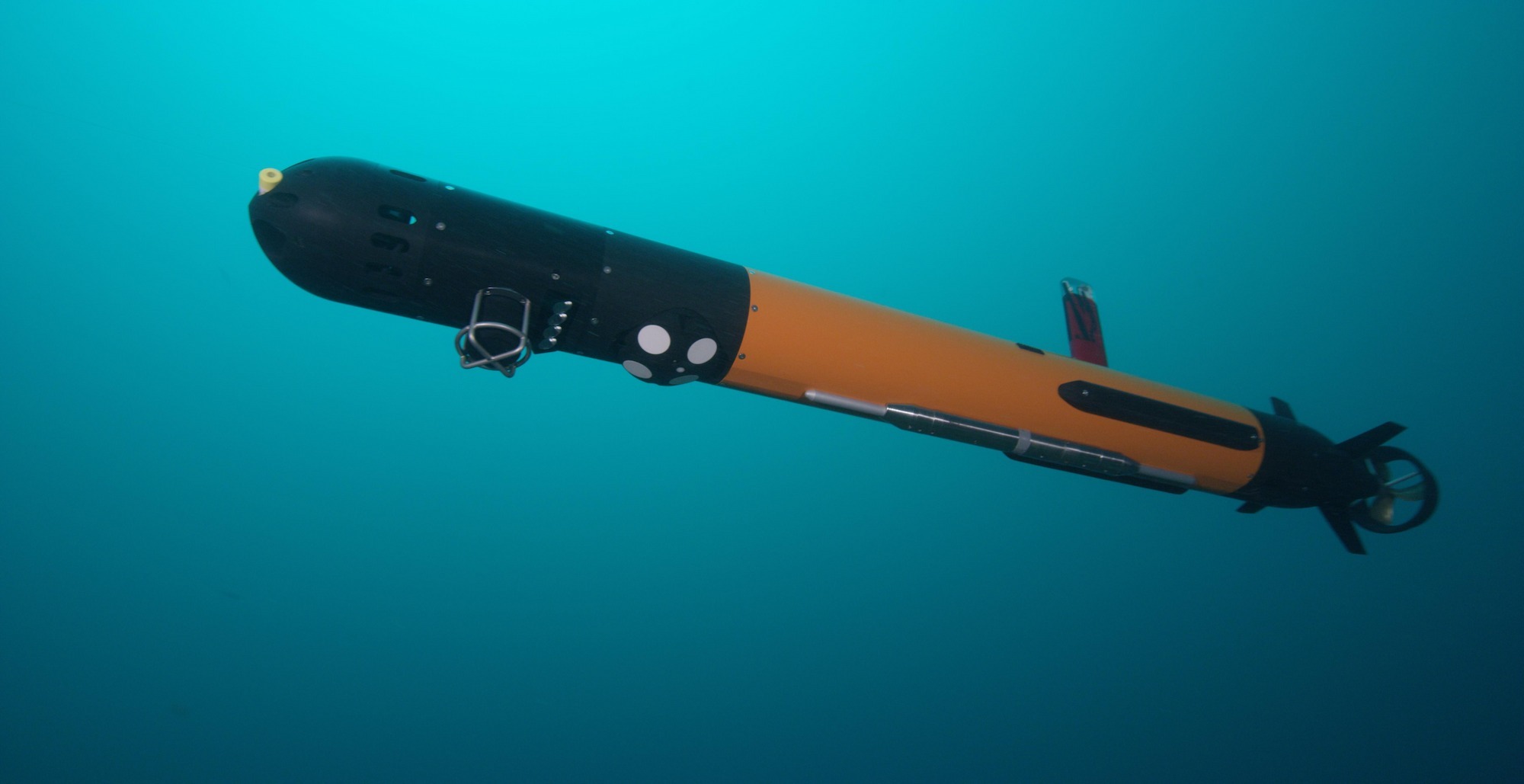
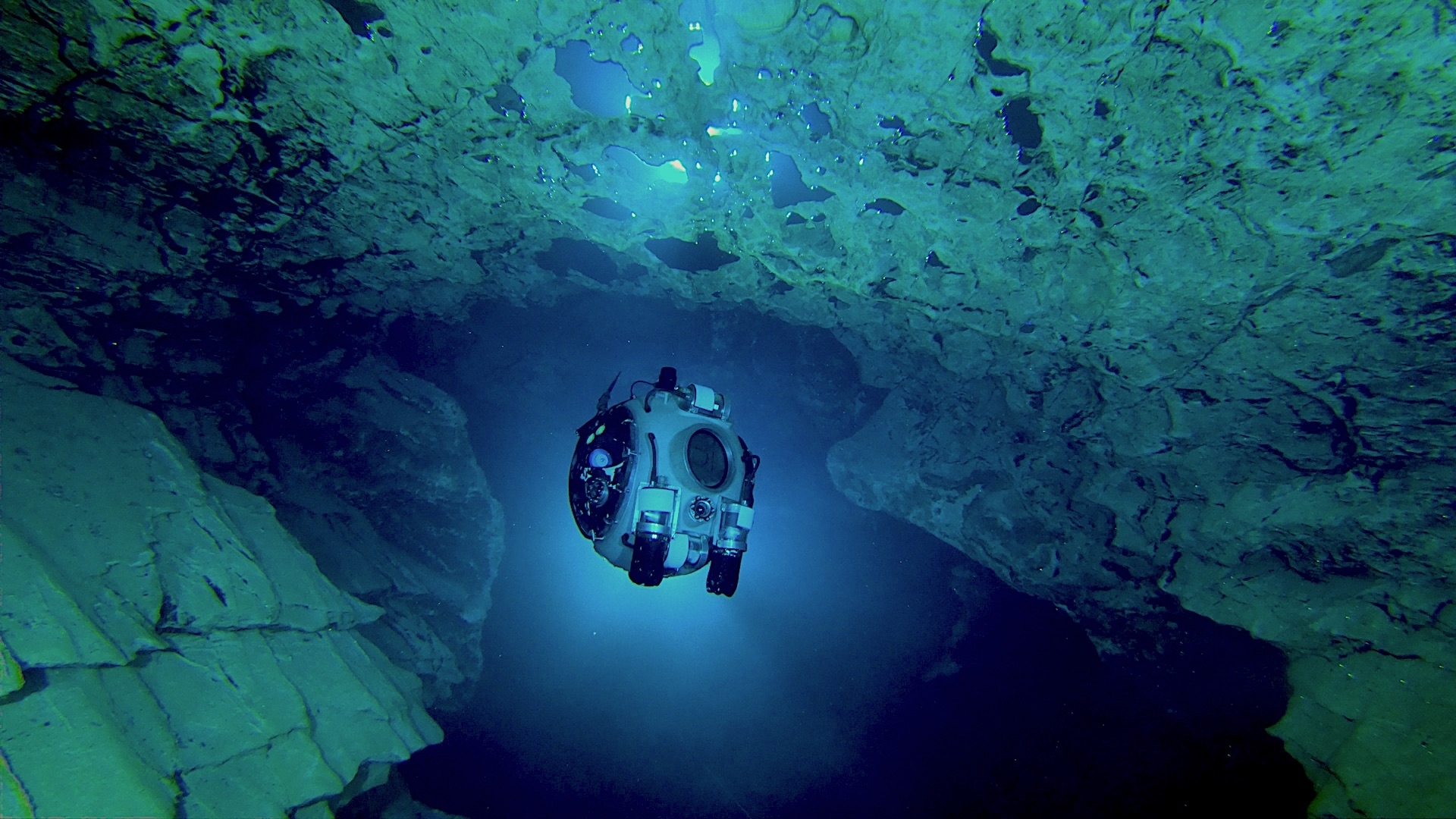
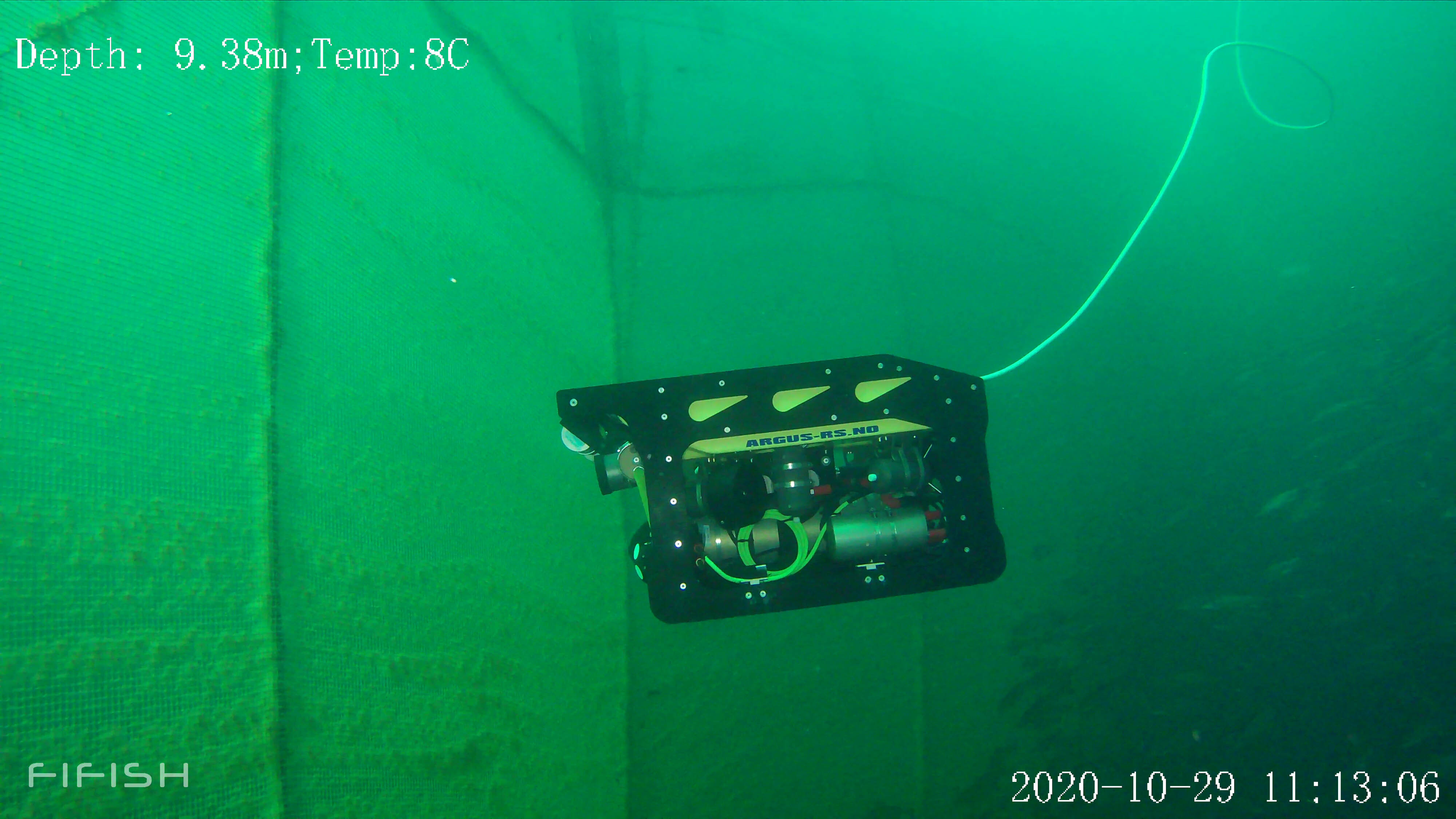
Using a DVL on an ROV to map a horizontal wall
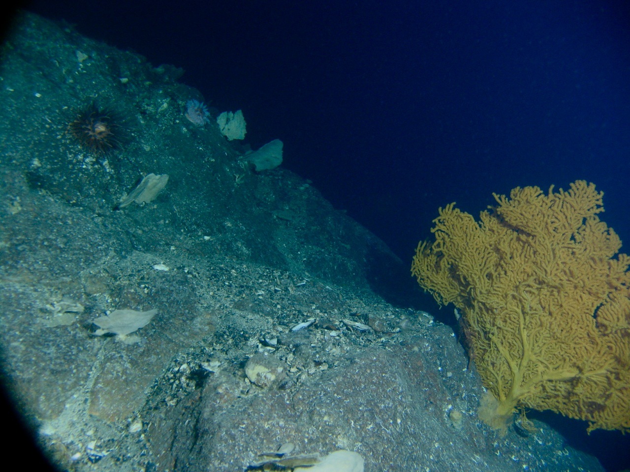
Steep underwater walls, such as those found along submarine canyons (and other underwater features) are often important to investigate for multiple scientific end users.
Biologists and geologists, as well as professionals in industrial sectors, have keen interest in learning more about them.
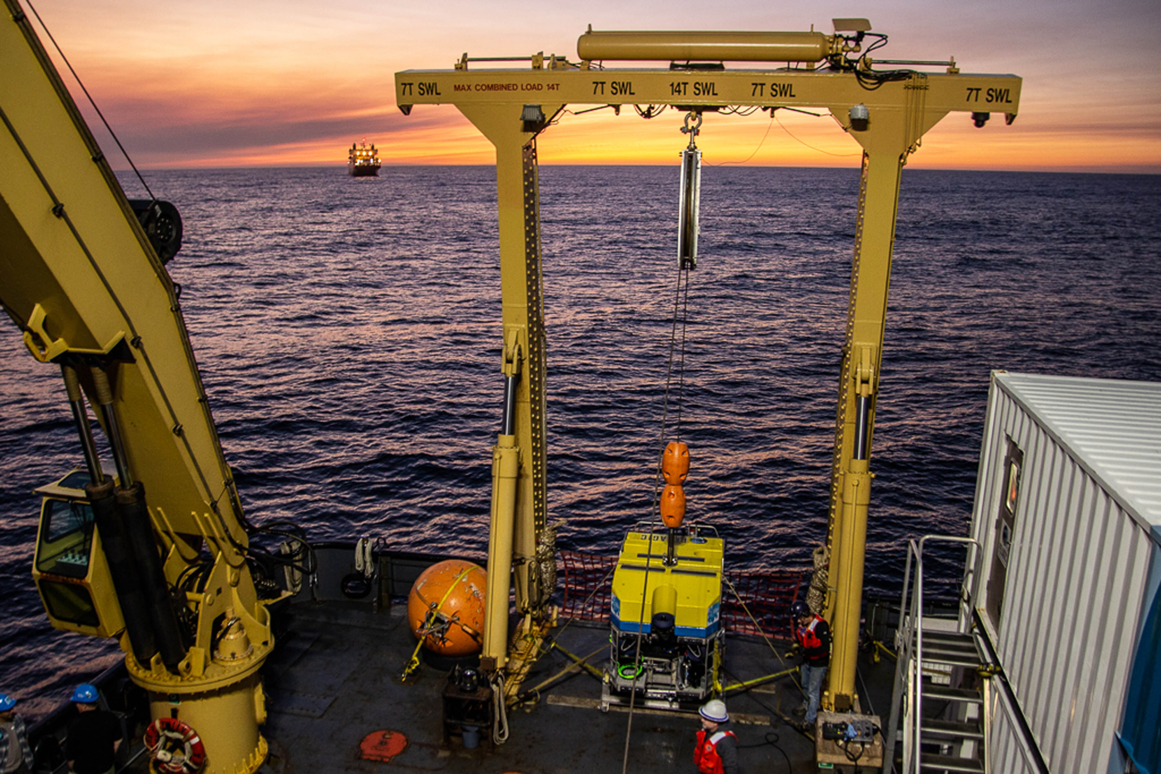
However, surveying and mapping of such walls with ROVs has been challenging due to technical limitations. ROV operations today are heavily reliant on experienced pilots.
Being able to automate the control increases both the efficiency and quality of data collection, while freeing up time and resources.
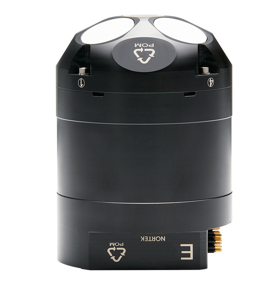
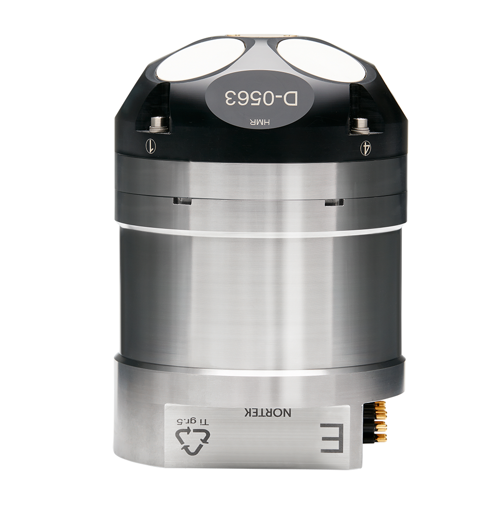
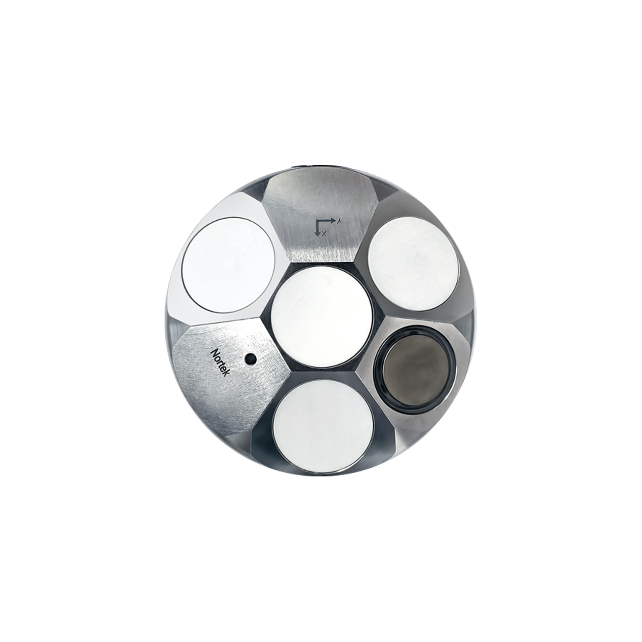
See this video to learn how researchers at the Norwegian University of Science and Technology (NTNU) found that a horizontally-facing DVL from Nortek was key to solving challenges related to data collection with an ROV.
- Educational videos