Bolstering Vietnam’s coastal resilience with wave measurements
- User stories
Synopsis
Challenge
Models of the ocean are useful for predicting how different coastal defense measures may perform when faced with storms. To ensure the models’ predictions are accurate, they must be validated and calibrated against real-world measurements.
Solution
Using a combination of Signature and AWAC ADCPs to measure the movement and dynamics of waves as they travel towards the coast during the monsoon season, researchers verified the accuracy of two different ocean models and assessed their limitations.
Benefit
With the models verified and limitations known, the researchers can now use them to explore potential coastal protection solutions that can help slow down the erosion of the Mekong Delta’s coastline.
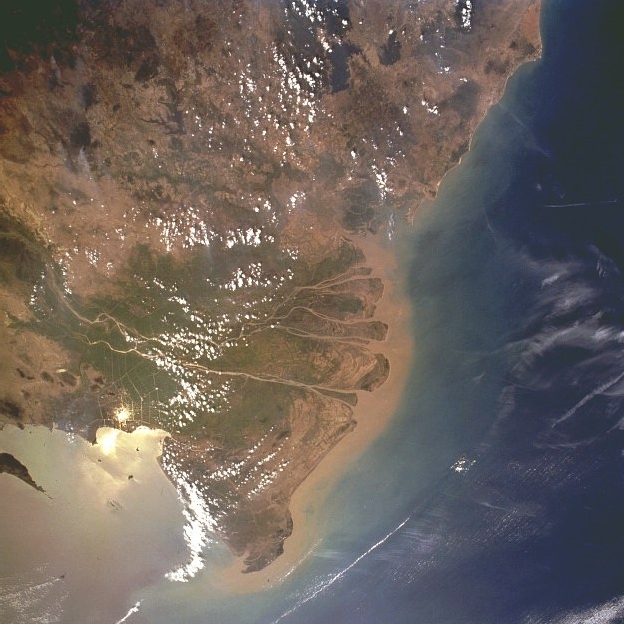
Some of the world’s most fertile land lies on the southern tip of Vietnam. The Vietnamese Mekong Delta “is a very rich land for agriculture like rice farming and shrimp farming,” says Jonas Bauer, a PhD student at the Karlsruhe Institute of Technology (KIT). Vietnam is one of the world’s top rice and shrimp exporting nations, and 50 percent of the country’s rice and 70 percent of its aquaculture production comes from the Mekong Delta.
Why coastal protection is essential in the Mekong Delta
Over the past decades, the Mekong Delta has faced increasing pressure. Upstream dams and sand mining reduce the flow of sediments that feed the delta, causing it to recede, while farmers now pump water from the ground. Together with these activities, the creation of infrastructure such as buildings and roads is compacting the once loose (unconsolidated) sediments, causing the delta to sink.
Climate change and rising sea levels also affect the delta.
The Mekong Delta is, on average, just 0.8 m above sea level, placing it in a particularly precarious position, even without the pressure created by dams and groundwater pumping.
Should our greenhouse gas emissions continue unabated, by 2100, estimated sea level rises of 75 cm to 1 m could see almost half the delta lost to the sea, threatening the livelihoods of the approximately 20 million people who live there.
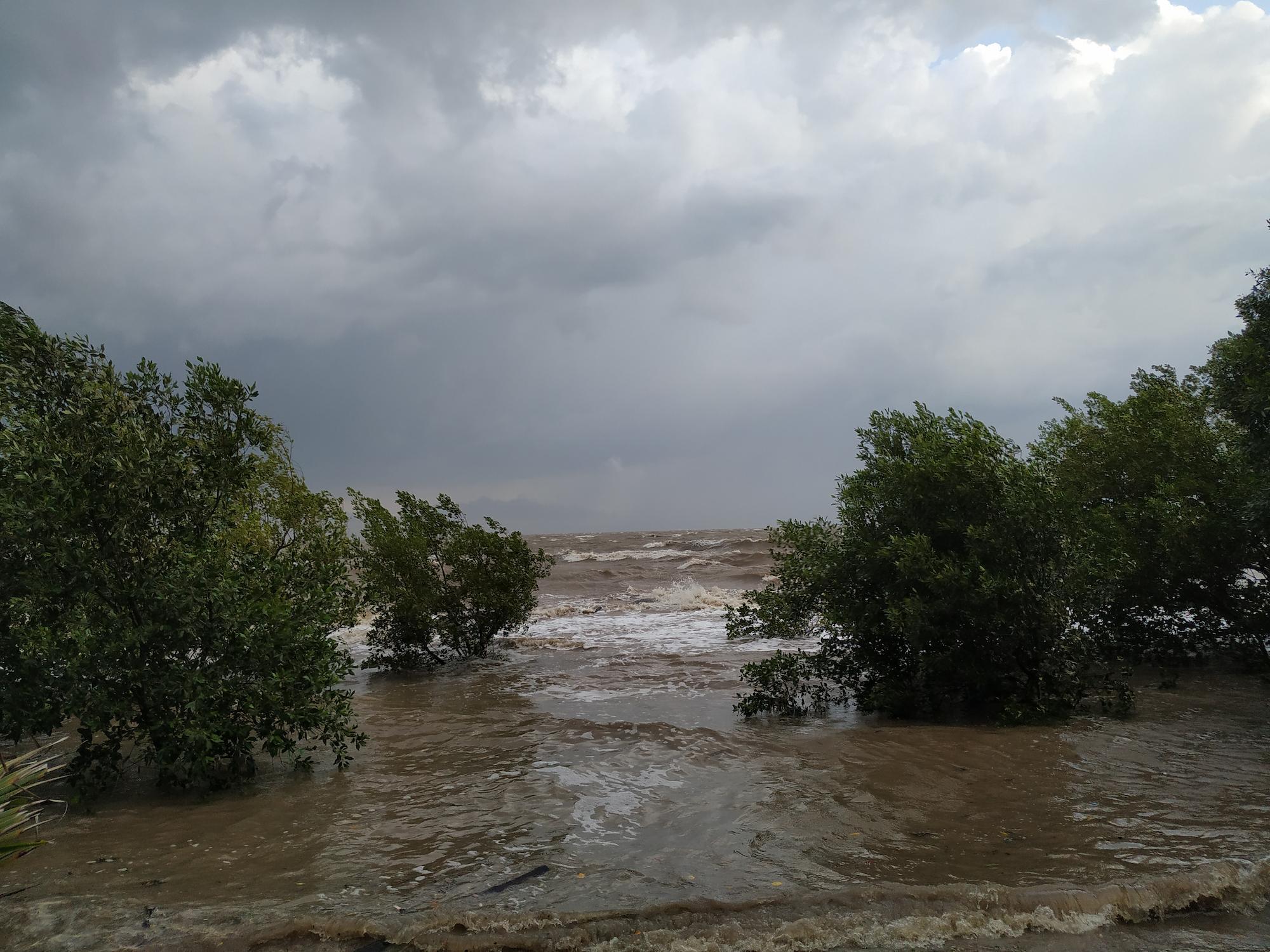
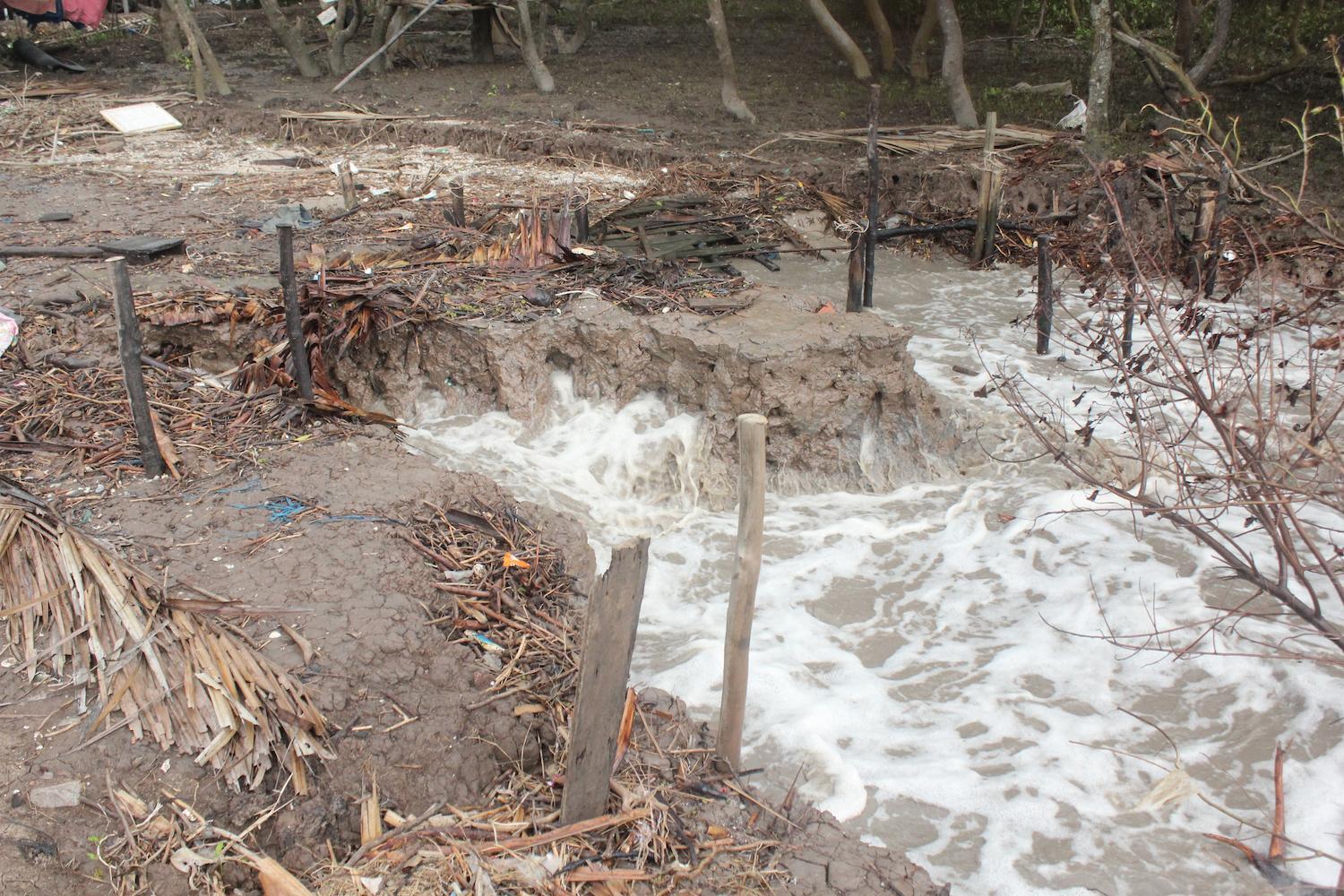
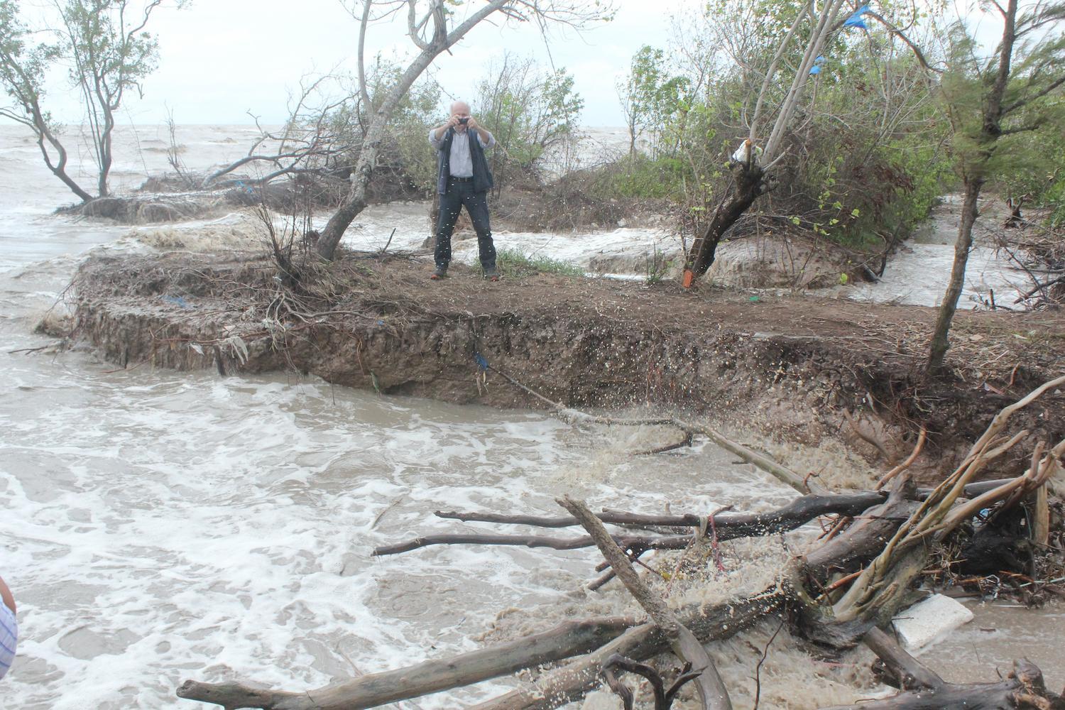
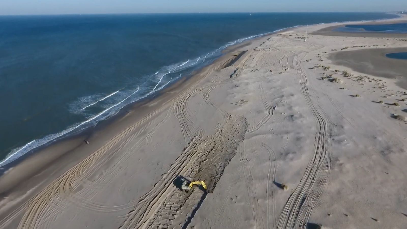
Coastal protection is essential for staving off rising sea levels, protecting the coast from erosion caused by powerful waves during the monsoon season, and minimizing seawater intrusion. However, barriers such as wooden fences and concrete breakwaters haven’t proven adequate.
“They’ve failed for different reasons. For example, some of the concrete structures have sunk down into very soft sediment. Some other structures broke down due to powerful waves,” says Bauer.
To find a more effective solution, Bauer and colleagues from KIT have joined forces with Vietnamese institutions to better understand the sea and coast around the Cà Mau province, which lies at the very southern end of the delta. The knowledge they gain will support the development of more effective coastal protection measures.
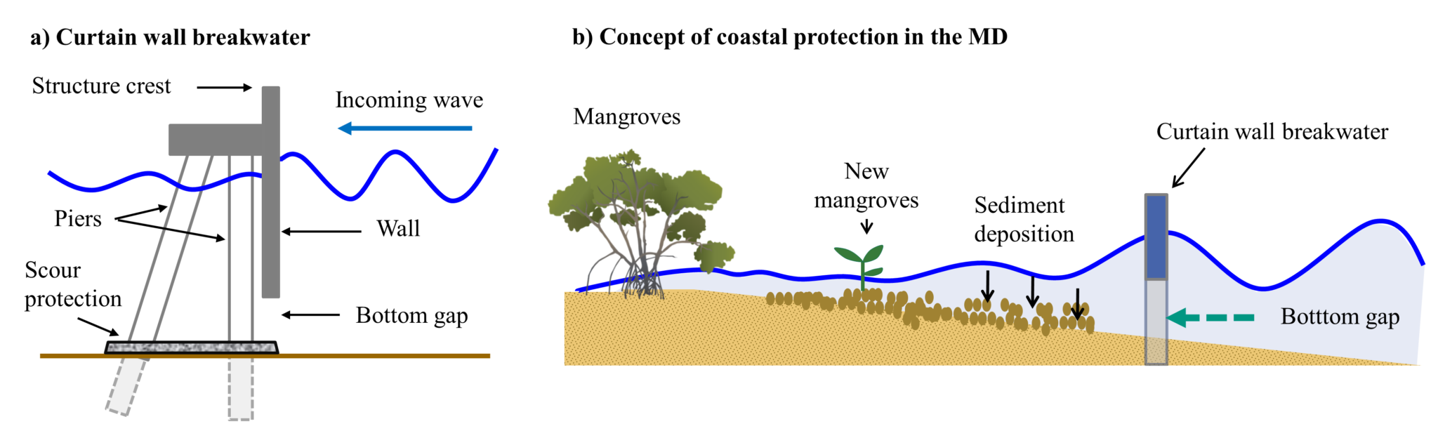
Understanding wave progression to develop effective coastal protection systems
“It’s important to lower the wave energy at the coast, but the challenge is to ensure that sediments brought in from the ocean currents can still deposit along the coast,” says Bauer. “If you build something that stops the wave energy going through but blocks the sediments, it will just add to the erosion problem.”
Bauer says that to develop suitable countermeasures, they need to understand wave progression as it moves toward the coast.
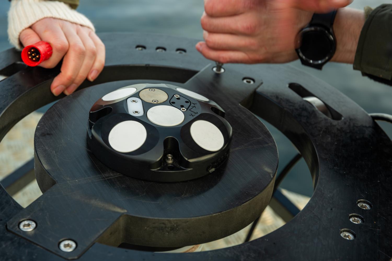
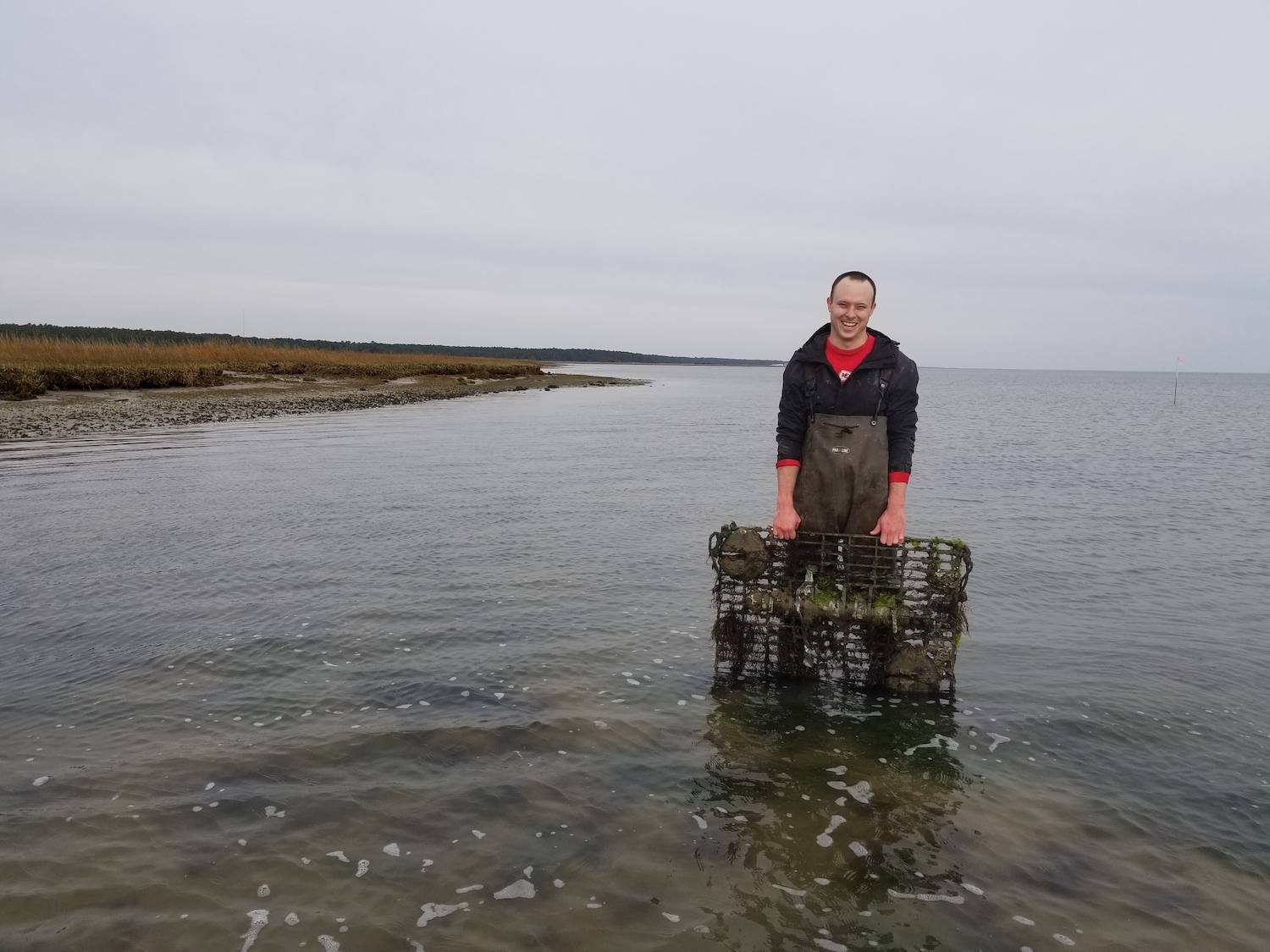
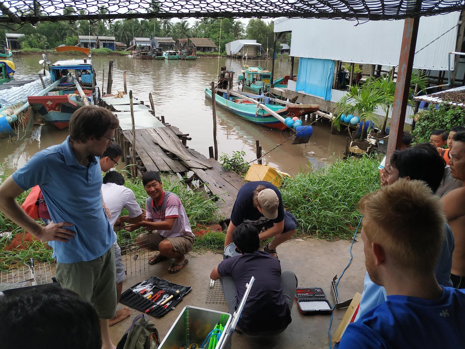
We used a Signature ADCP and an AWAC to look at the wave conditions during the peak of the monsoon season.
— Jonas Bauer, Karlsruhe Institute of Technology (KIT)
Evaluating ocean models against real-world wave measurement data
Ocean models are commonly used to understand the dynamics of the ocean and how coastal protection measures may perform under different scenarios, such as different storm strengths, wave directions or sea levels. However, models are only as good as the data they have access to, and local variations in ocean conditions can mean they are more accurate in some areas than others. All models must be evaluated and calibrated against real-world data. Ideally, researchers will collect this data from the area the researchers want to model.
“We used a Signature ADCP and an AWAC to look at the wave conditions during the peak of the monsoon season,” Bauer adds.
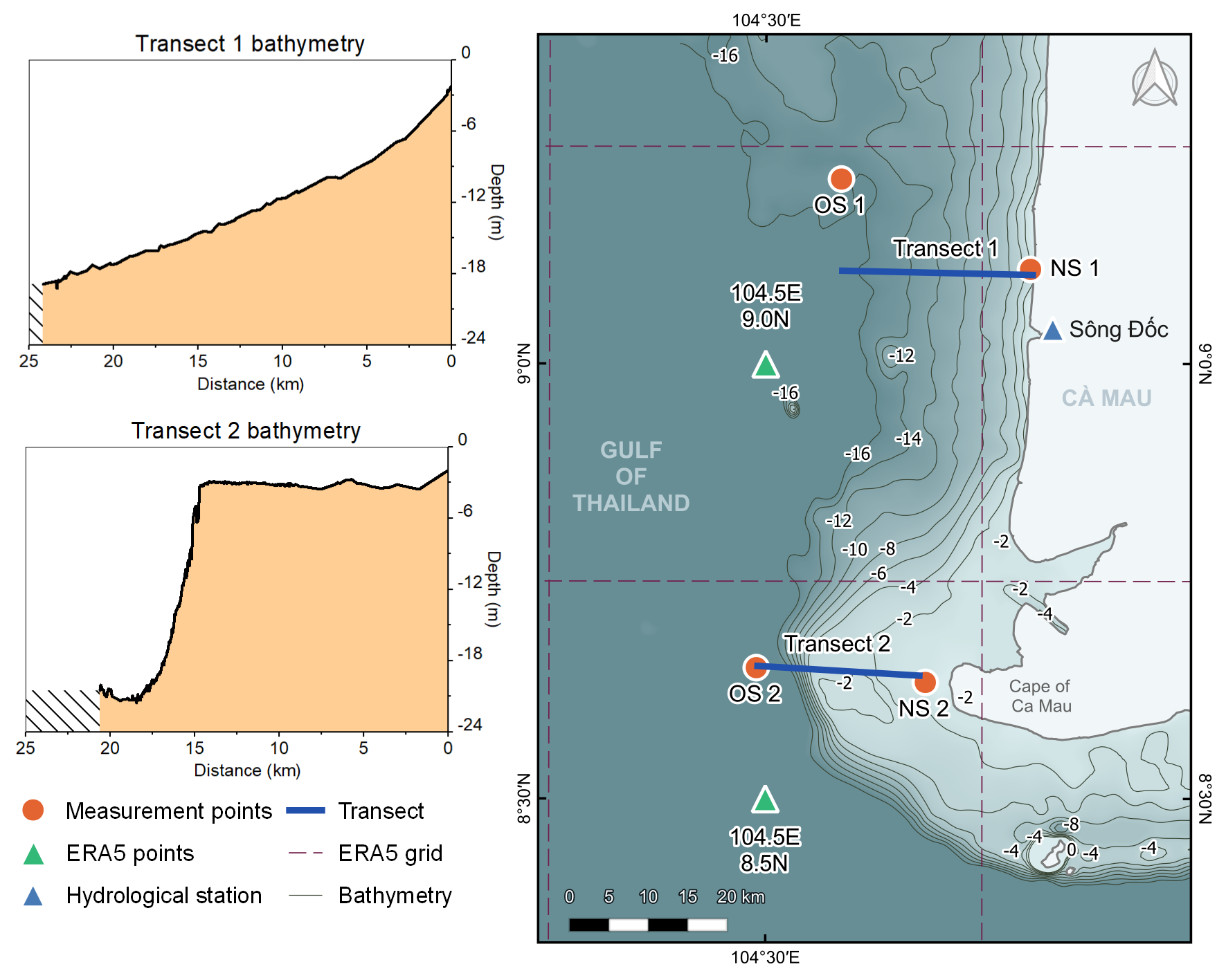
The team deployed the instruments along two transects stretching from the coast into deeper waters. They placed the AWAC offshore, approximately 25 km from the coast, and the Signature ADCP 2 km from the coast.
Measuring wave height, wave period and wave direction
“These devices gave us measurements of wave heights, wave period and wave direction,” explains Bauer.
Over two weeks, measurements were taken at 10- to 15-minute intervals for at least three days at a time.
“You can just deploy the instruments and leave them in the water to get these high-frequency measurements that you need to do your research,” Bauer says.
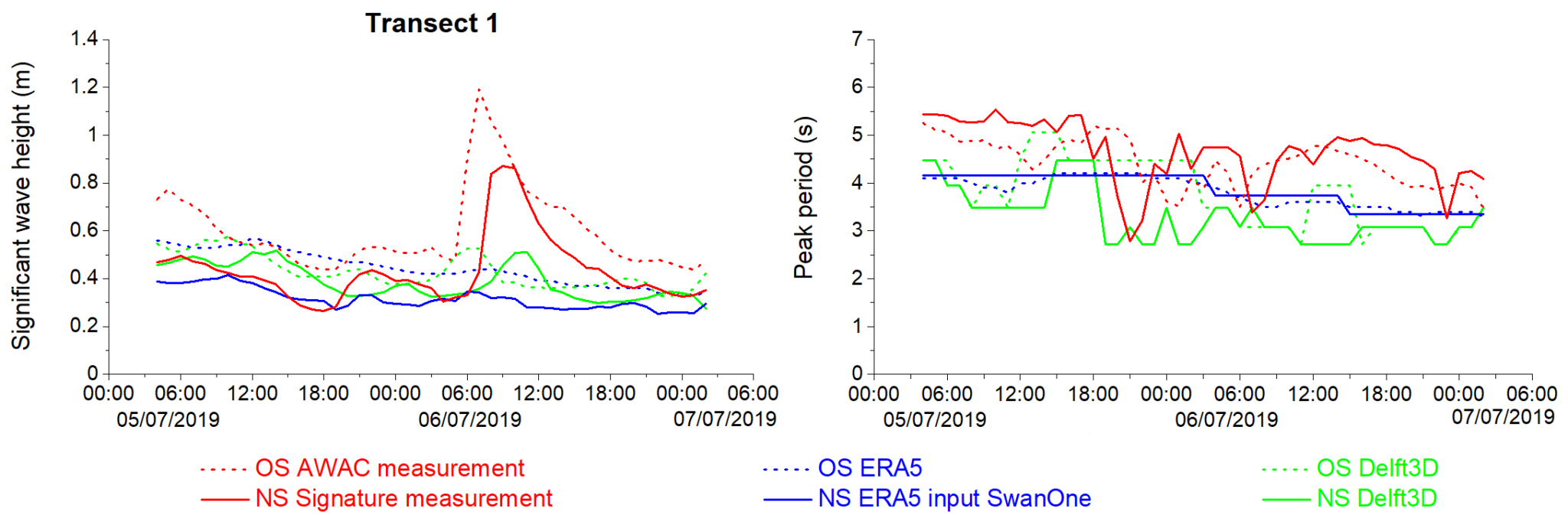
Generally, the models were able to recreate real-world conditions accurately. Both models appear more accurate for long-lasting extreme events with high winds and waves lasting several days or more than for short-lasting extreme events, such as local thunderstorms that last several hours. The researchers also found that the models predicted peak periods that differed from the real-world data. In addition, the data collected also allows the researchers to estimate the wave energy hitting the coast.
With this information and the other research gathered over the years, we can really start to develop countermeasures to protect the Mekong Delta from drowning and keep people safe.
— Jonas Bauer, Karlsruhe Institute of Technology (KIT)
Predicting the behavior of waves with more confidence
With verifications in place and limitations known, the researchers can be more confident in using the models to predict the behavior of waves as they move toward the coast under different scenarios, allowing them to explore various coastal protection options.
“With this information and the other research gathered over the years, we can really start to develop countermeasures to protect the Mekong Delta from drowning and keep people safe,” says Bauer.
Advancing research capabilities
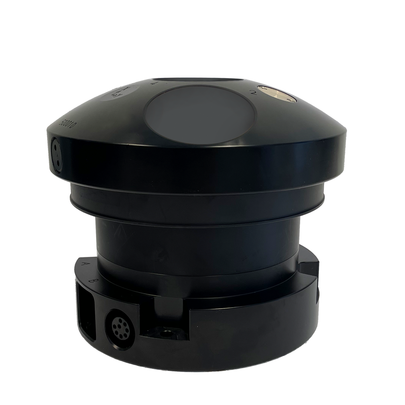
Recent technological improvements enable the AWAC wave measurement instrument to meet the next generation of user needs. Nortek has utilized modern electronics and processing techniques to prolong deployments, increase robustness, maximize data collection and simplify instrument maintenance.
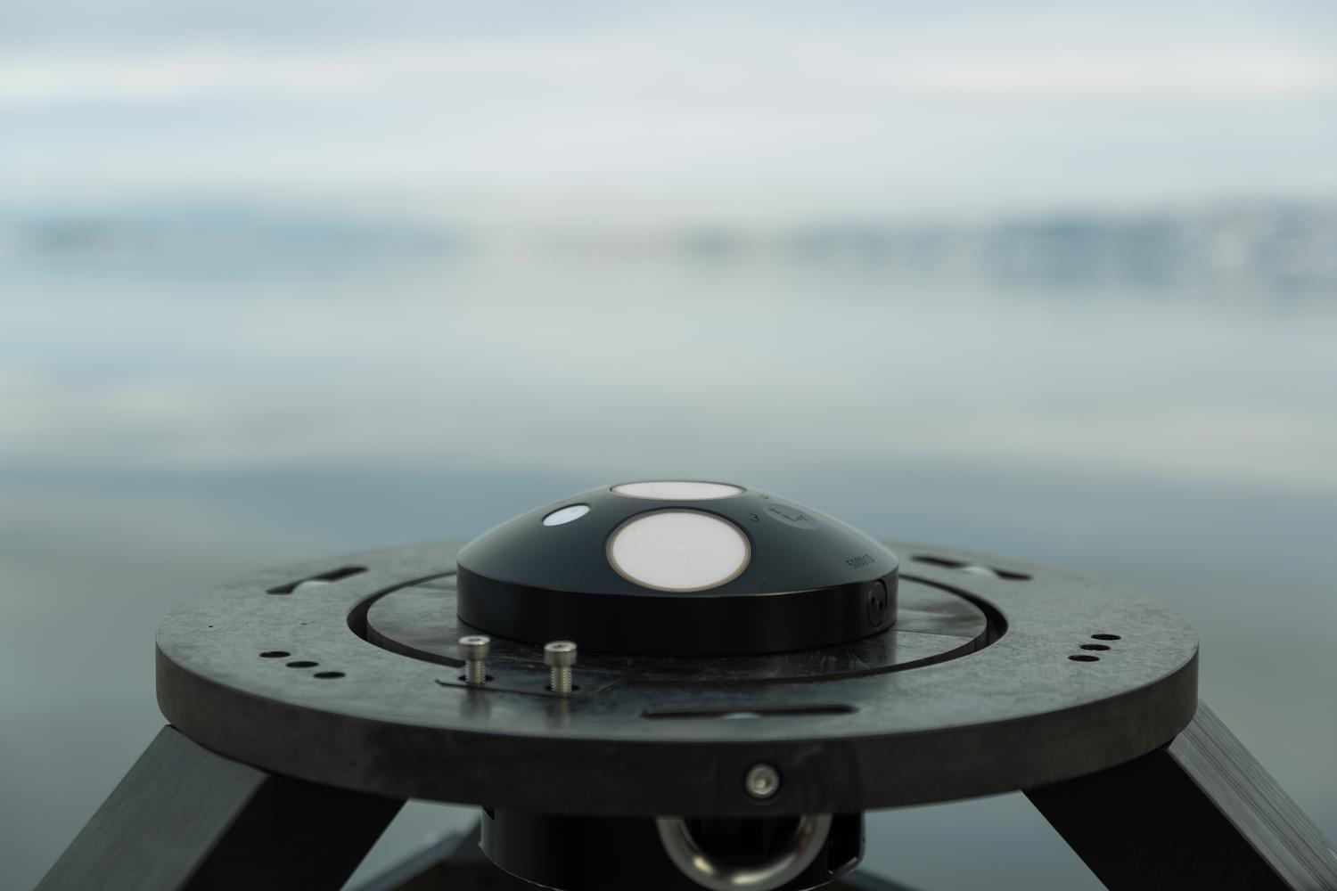
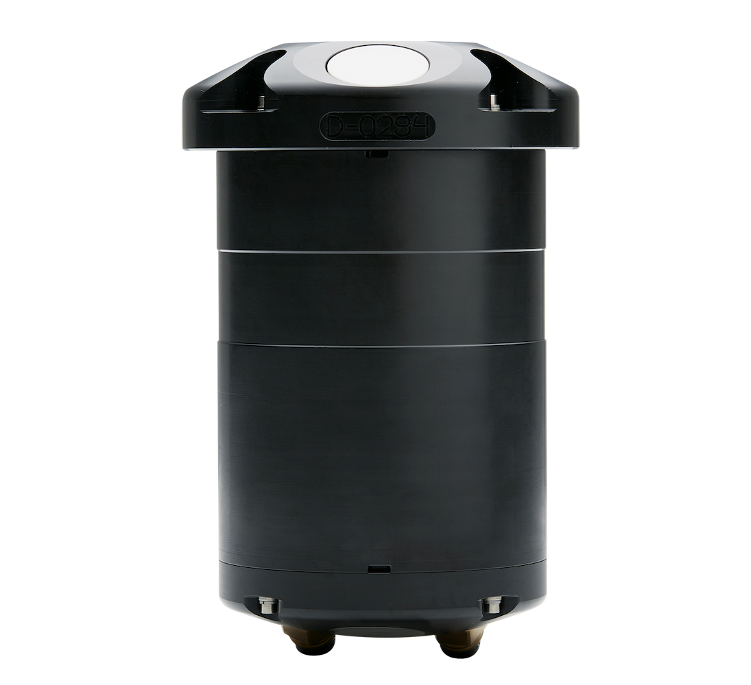
The Signature 1000 ADCP is Nortek’s “academic powerhouse” because of the many capabilities it packs into a small and easy-to-deploy instrument. The Signature 1000 allows scientific researchers to measure currents, waves, turbulence and even biomass. This ADCP can measure several of these parameters at the same time, so users don’t have to sacrifice one type of measurement to make another.
(End note: Image of Mekong Delta in the beginning of this article is from Wikimedia Commons and was produced by NASA.)