Gathering current and wave data for coastal protection engineering in the Maldives
- User stories
Synopsis
Challenge
Creating a luxury island resort requires planning, design, land reclamation – and knowledge of the current and wave climate in the area. Marine consultancy Water Solutions gathered current and wave data for the design and planning of a new resort in the Maldives.
Solution
Using the combination of a Signature 1000, Signature 500, Aquadopp Profiler and Eco, the team gathered a complete picture of the currents and waves in a lagoon in the South Malé Atoll.
Benefit
The data will be used by the resort’s coastal engineering team for the design and planning of the resort to ensure a safe and enjoyable environment.
The feat of building a luxury island resort over water is not a small one. Resort construction requires a great deal of research, planning and coastal engineering to ensure a safe and calm environment for the resort and for land reclamation projects. One such project is taking place in a secluded lagoon in the South Malé Atoll in the Maldives, known as Project Delfin. The lagoon, the Tholhimaraa Huraa lagoon, will soon be home to a new island resort consisting of separate buildings connected by walkways. While the lagoon currently has some small islands and sandbanks, new land must be created to build the resort structures. The planning of this engineering feat is where Maldives-based environmental consulting firm Water Solutions comes into play.
Coastal engineering lagoon surveys before resort construction
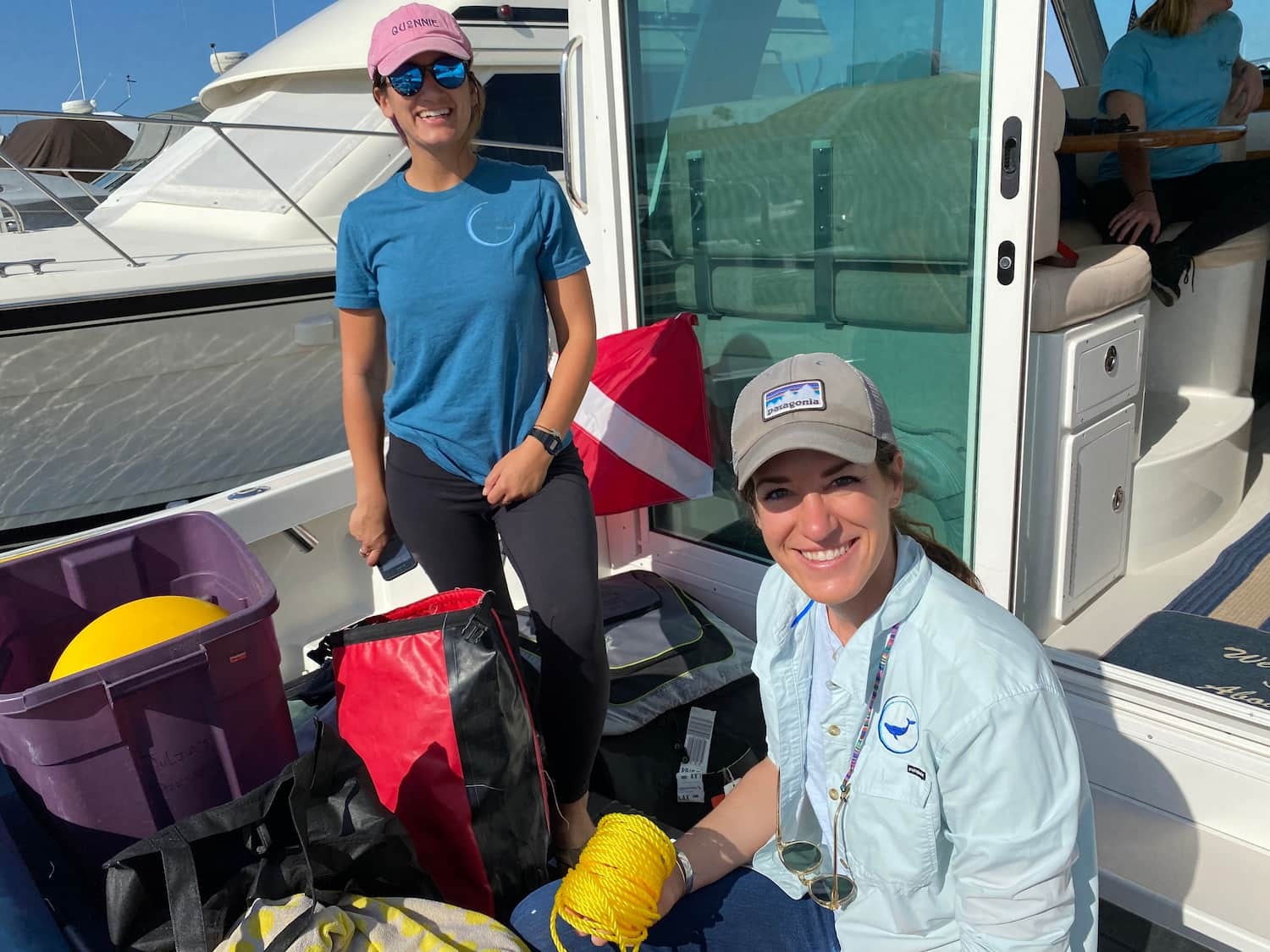
“Our main role was carrying out a baseline survey of the 5 km² lagoon,” explains Ibrahim Faiz, Lead Environment Consultant at Water Solutions.
“We completed a ten-day expedition to carry out various surveys of the lagoon, including detailed bathymetry surveys, marine baseline surveys, current and wave measurements and Unmanned Aerial Vehicle (UAV) mapping.”
The surveys completed by the Water Solutions team were required for their client and planning team to understand the conditions at the lagoon before beginning the design process for the resort island.
Using ADCPs for coastal protection engineering
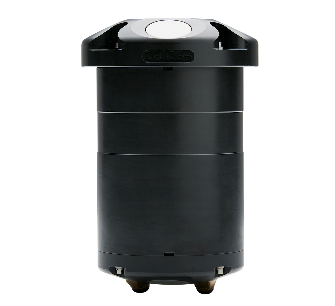
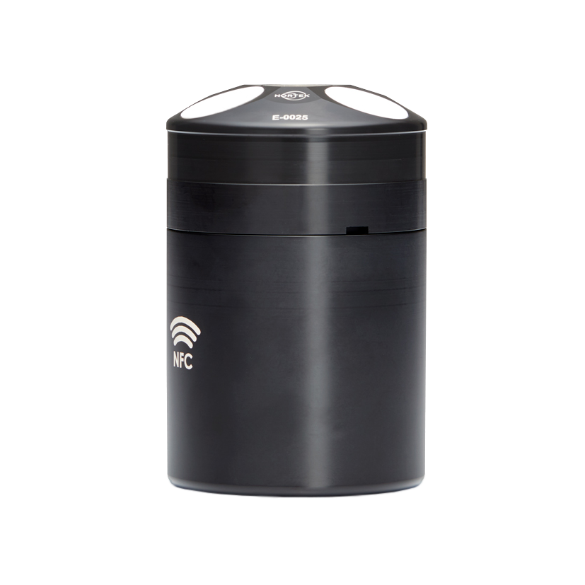
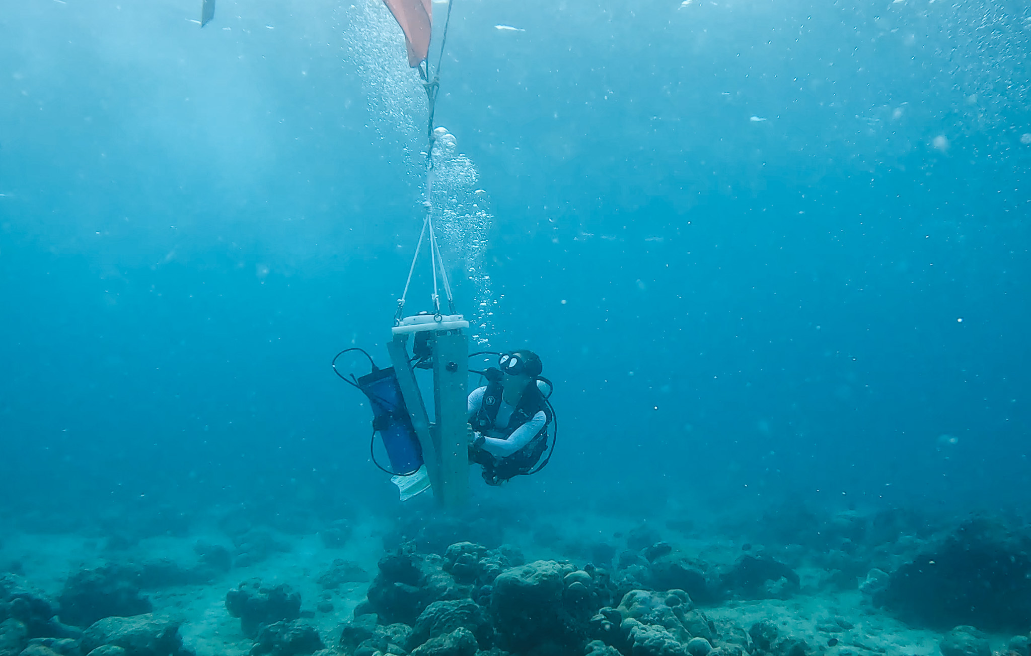
The Water Solutions team used four Nortek ADCPs to collect current and wave data at the lagoon: an Aquadopp Profiler 400kHz, a Signature 500, a Signature 1000 and an Eco ADCP all contributed to the ADCP survey and were used in different areas depending on depth and data requirements at the different sites.
“Since this was our first deployment with the Signature 500 and Signature 1000, we carried out the operation slowly and learned as we went,” says Faiz.
“We used a buoyancy balloon to slowly lower the ADCP and tripod to the required depth.”
Preparing for different ocean wave scenarios when designing coastal protection
Both the Signature 1000 and Signature 500 were deployed around 15m depth at different sites for this project. The team chose the sites based on where the wave action was expected to be the highest. The instruments measured currents and waves at each site, data which the planning teams will use to verify numerical models.
“We were hoping to capture data from the places with the biggest swells so we can have data that will prepare us for worst-case scenarios when designing coastal protection for the island,” explains Mohamed Affan Shakir, Offshore Surveyor with Water Solutions.
Because of the warm water of the lagoon, biofouling was a concern to the Water Solutions team. They used antifouling patches on the transducers of the Signature to avoid growth and maintain consistent acoustic signals.
Biofouling can block the acoustic signals from the ADCP. Antifouling patches can help avoid the transducers becoming overgrown.
Selecting instruments for different areas of the lagoon survey
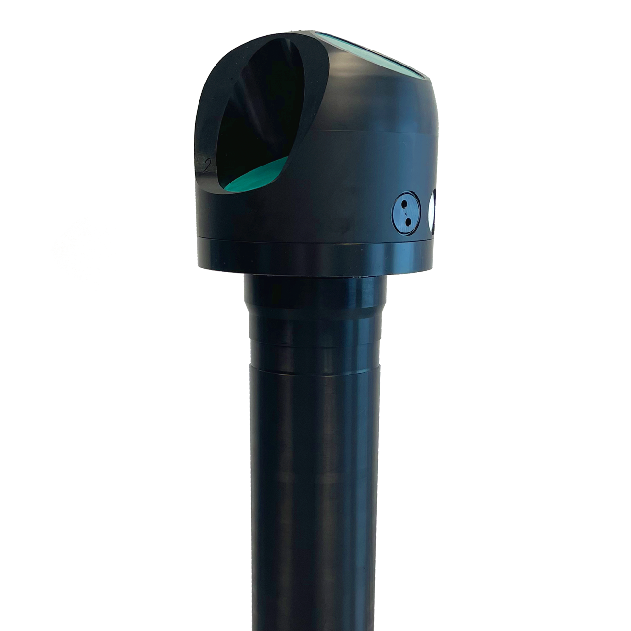
In addition to the Signature ADCPs, the Eco ADCP was deployed using the designated buoy system with a timed release. Ideal for very shallow water and for quick and easy data visualization, the Eco proved a useful tool for the Water Solutions team in the lagoon.
“We found the Eco easy to deploy,” reports Yaman Ibrahim, Coastal and Marine Scientist at Water Solutions.
“The Eco software – provided to process and export final data – was very user-friendly and easy to use. The data visualization using the software made it possible to seamlessly add visuals to our reports for clients to easily understand the conditions at the site.”
The Eco’s timed release allows the Eco ADCP in its buoy to float to the surface. From there, the entire system can be retrieved.
Each instrument was deployed for a 30-day measurement period and successfully recovered.
Datasets for coastal engineering simulation of current and wave conditions
“The ADCP data sets the core datasets for the coastal engineering team for the simulation of the current and wave condition using numerical modeling and the design of the new islands and shore protection designs,” says Ibrahim. By relying on different instruments to perform different functions, the team was able to create a comprehensive data set for the coastal engineers who will be responsible for the protection measures surrounding the new resort. The resort, which is set to open in 2025, will operate with a focus on sustainability, while offering boating, restaurants and many opportunities for marine recreation.