


Navigation
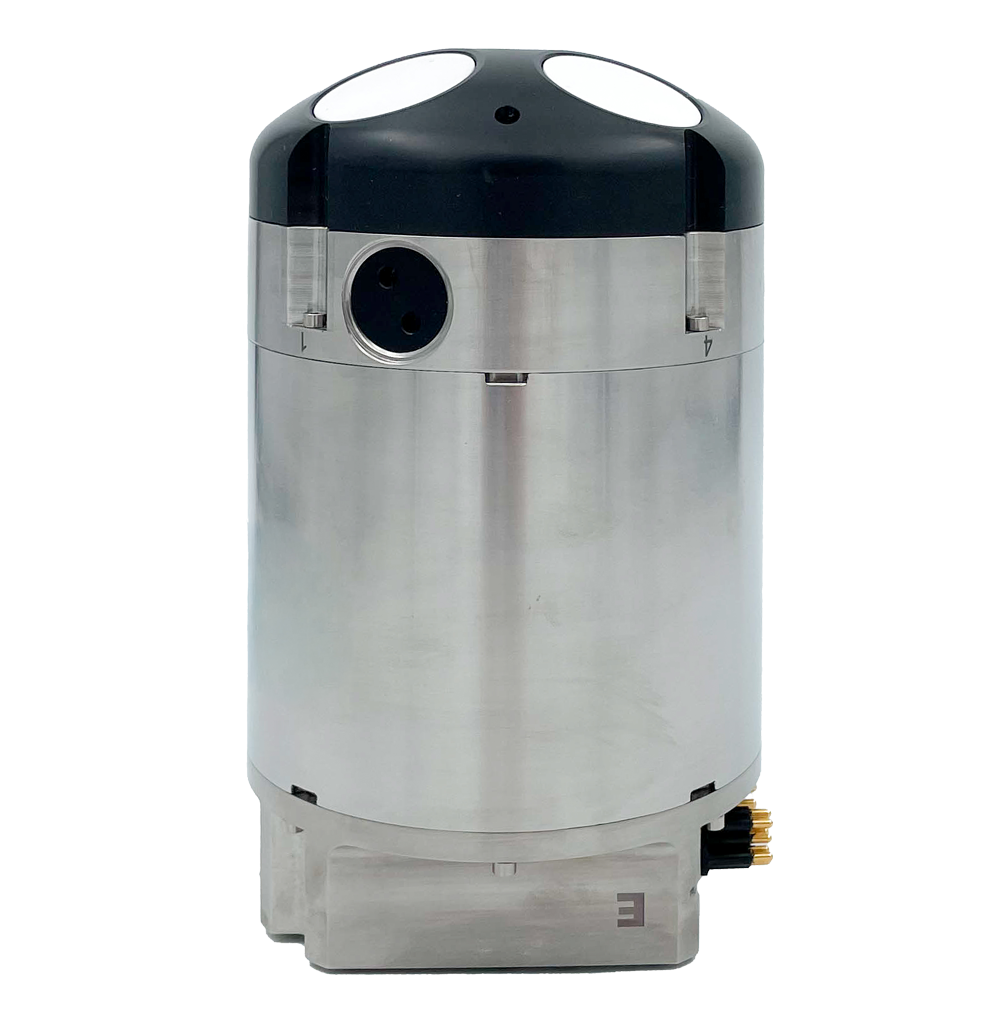
Nucleus 1000
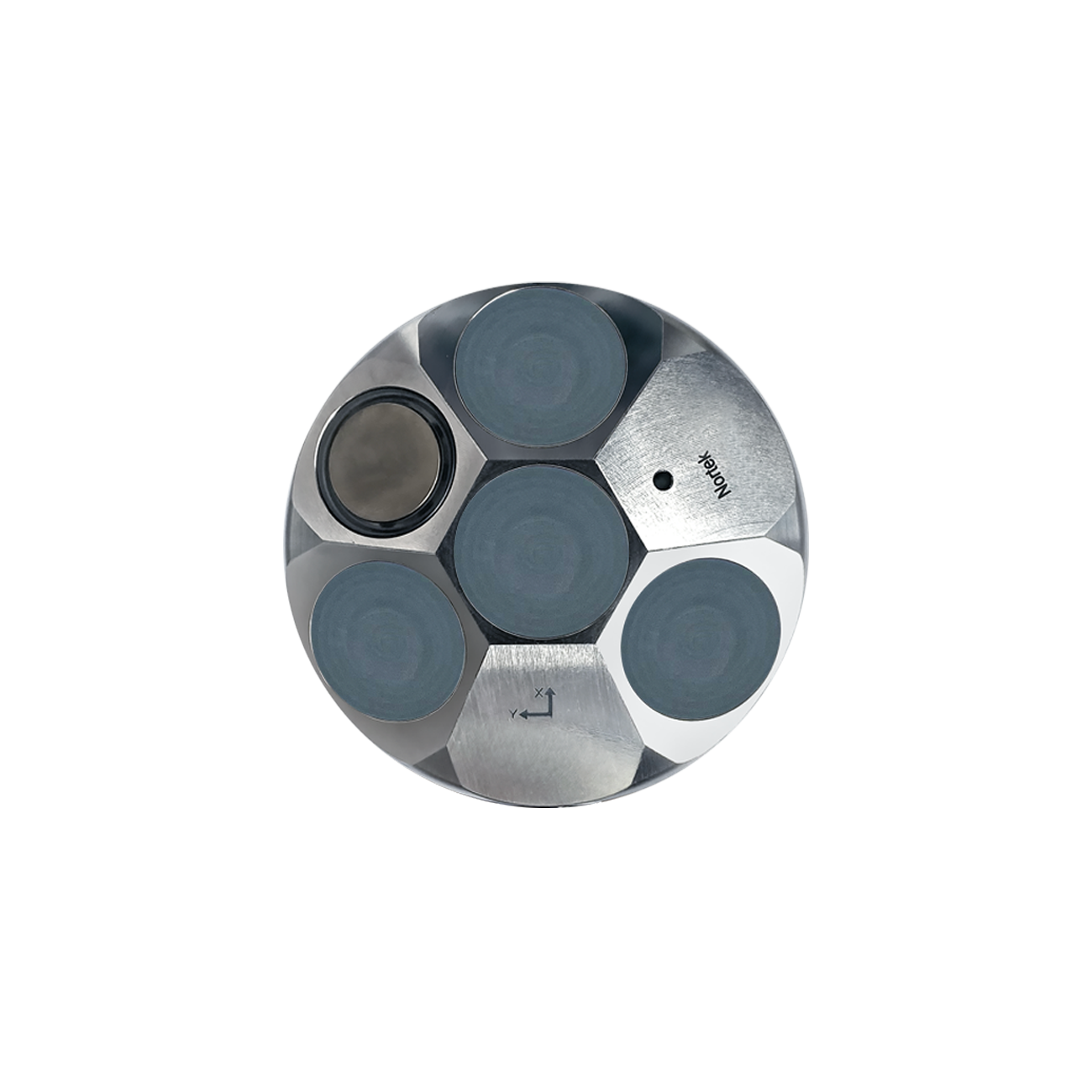
1000 mA deep-water-rated sensor hub that makes vehicle control and navigation possible.
- Compact size optimal for small ROVs and AUVs
- Integrated AHRS and INS for pre-calibrated attitude, heading, and position information
- Dedicated vertical beam for altimeter information
Overview
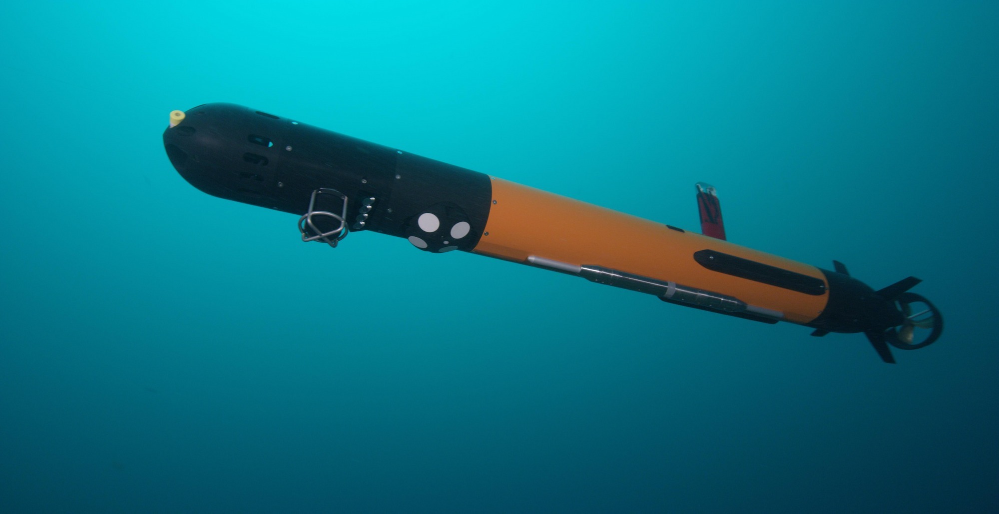
The Nucleus 1000 is a sensor package that has all the necessary sensors and data products to aid in subsea navigation and vehicle control. This includes estimates of distance from the surface and bottom, attitude, heading and velocity. To learn more about the Nucleus 1000's capabilities, click here.
A shallow water (300 m rated) version of the Nucleus 1000 is also available in both standard and OEM housings.
-
 Currents
-
 Bottom track
-
 Altimeter
Highlights
-
Compact size optimal for small ROVs and AUVs
-
Integrated AHRS for pre-calibrated attitude and heading information
-
Dedicated vertical beam for altimeter information
Usage
-
Integration with small ROVs or AUVs where payload is limited
-
Navigation for vehicles which don't require survey-grade accuracy
-
Backup navigational aid for coastal USVs
-
Increase vehicle capabilities with combined current profiling and navigation solution
Integration
Unlike typical DVLs, the 1000m rated Nucleus 1000 is equipped with a pre-calibrated and pre-synchronized AHRS, temperature and pressure sensors, bringing users closer to true navigation while greatly reducing integration work. For those requiring a full positioning solution, the Nucleus can be provided with an optional INS firmware feature.
Reliability
The Nucleus 1000 provides many of the features of a Nortek DVL, including water track in case of bottom track loss, rigorous testing in the demanding conditions of the Oslo fjord, and multiple data quality checks, all in a compact package.
Results
Integration of a guidance and navigation system on small vehicles becomes achievable, effective, and affordable with the Nucleus 1000, enabling those vehicles to perform longer and more efficient missions. The Nucleus 1000 software provides visualization of outputs and sense-checks of sensors, including a 3D visualization of the sensor’s AHRS.
No technical specifications matched your search.
No technical documents matched your search.
No configurations matched your search.
Compare similar products

Support resources
Related products
Related content
New to subsea navigation?
Read moreHow does a DVL fit into a complete navigation system?
Read moreMy subsea vehicle is pitching and rolling. How do I get a reliable altitude?
Read moreRequest a quote
Found the right product? Fill out the form to request a quote.