Knowledge center
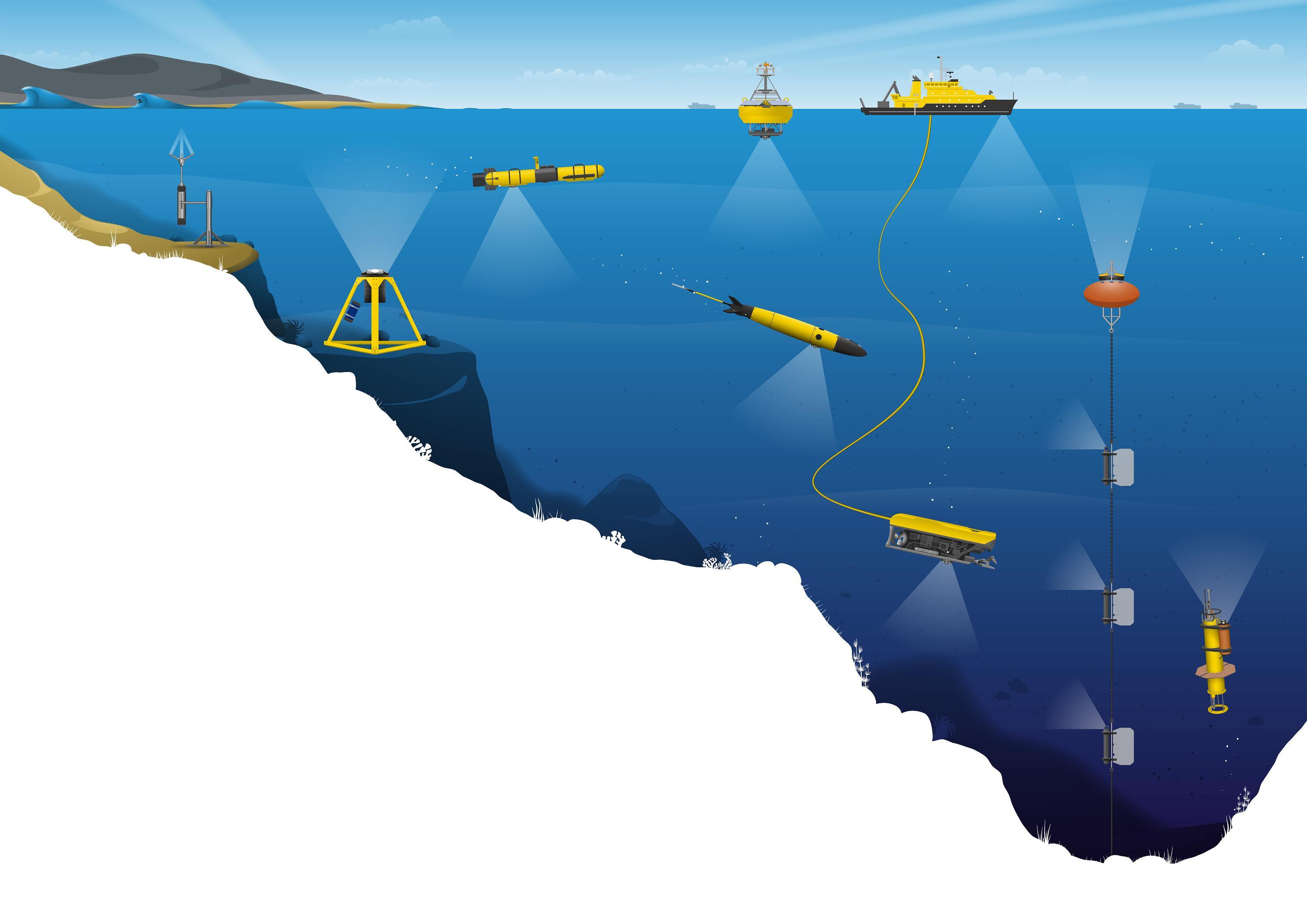
New to subsea navigation?
Subsea navigation can be a challenging endeavor requiring highly specialized solutions. Here we explain, in straightforward terms, what it entails…
Understanding ADCPs: a guide to measuring currents, waves & turbulence with acoustic sensors
The purpose of this guide is to give you some background information about Doppler technology and the science behind it. This will help you to get…
Your guide to understanding and measuring ocean waves
This in-depth guide is designed for those who want to learn about waves in the ocean and how to measure them. After reading it, you should be able to…

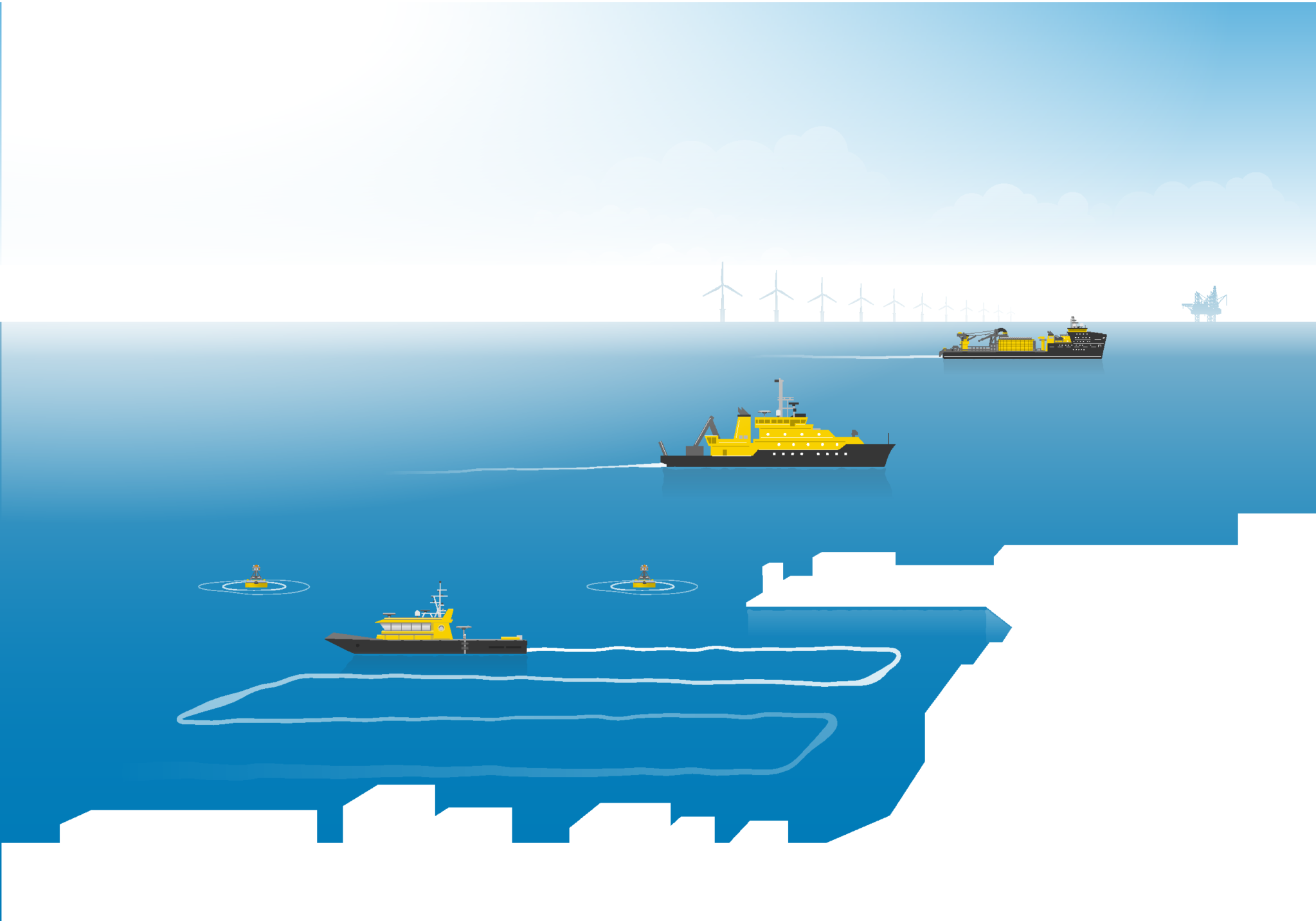
Understanding vessel-mounted current measurement
Acoustic Doppler Current Profilers (ADCPs) measure the complex movements of currents in oceans, rivers and lakes with great accuracy. Traditionally,…
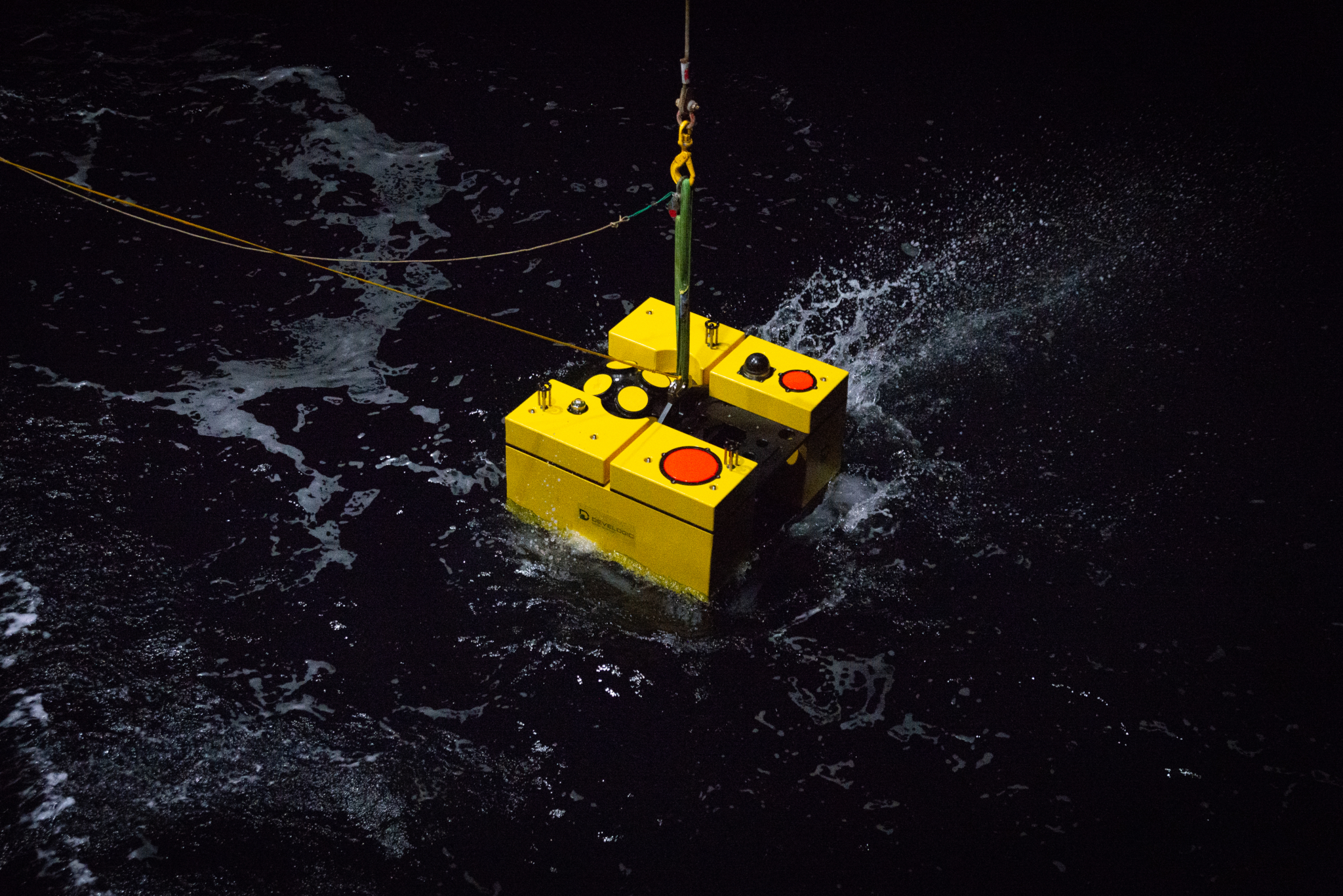
Signature ADCPs power offshore monitoring network
Multi-functional landers equipped with Nortek’s long-range Signature ADCPs are used by researchers at the Institute of Marine Research in Norway for…
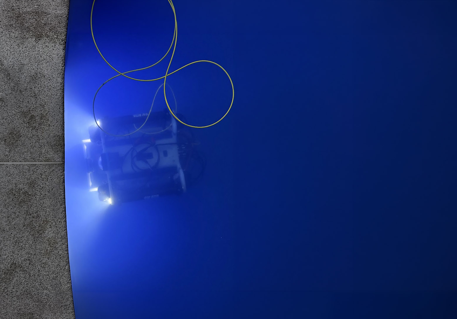
Nortek Nucleus 1000 enables efficient underwater tunnel inspections
Chile-based Skava Deep Solutions uses the Nortek Nucleus 1000 integrated navigation system to perform high-precision inspections of submerged…
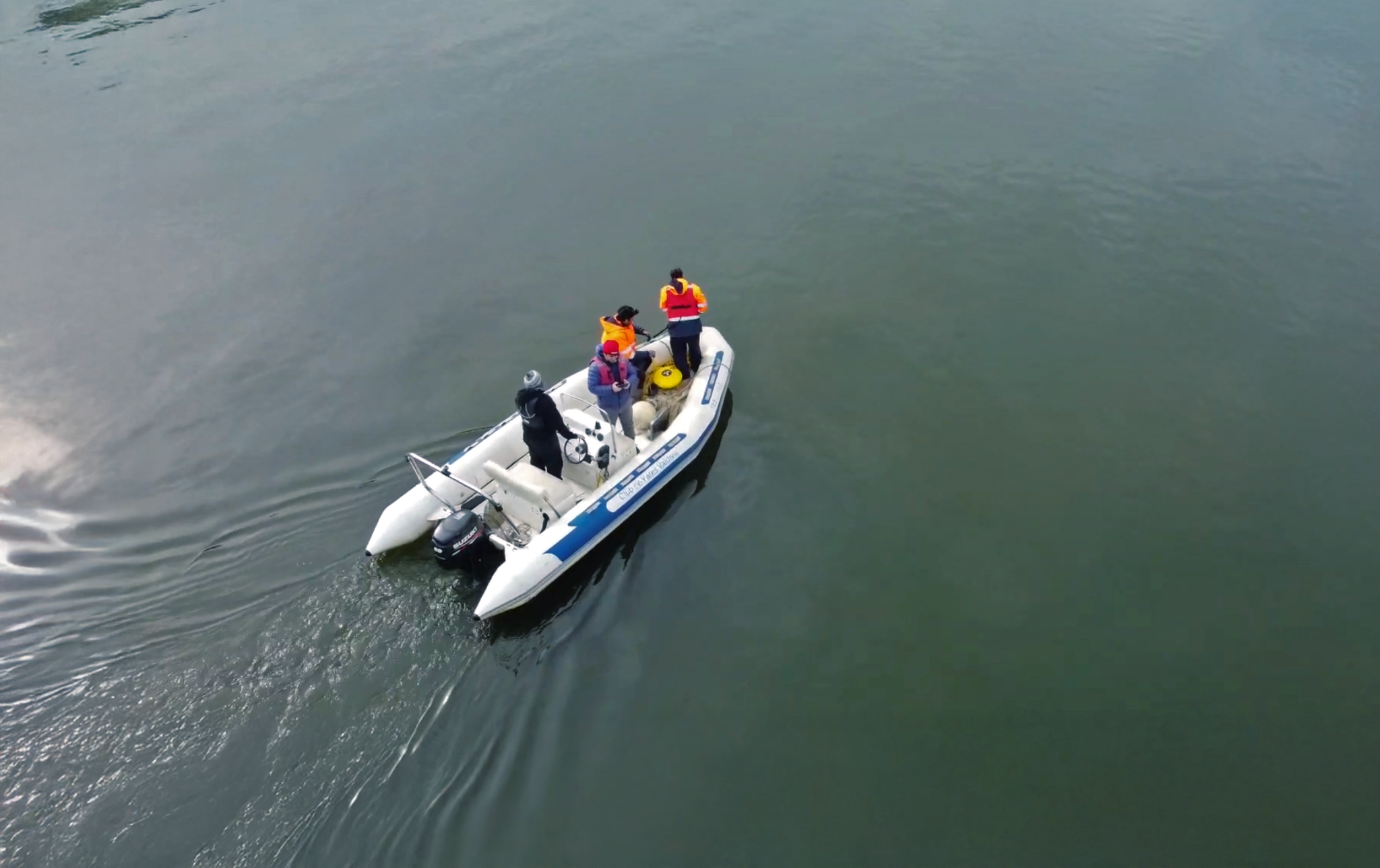
Rare ADCP deployment during a tsunami provides insight into interactions of tsunamis, rivers and tides
A recent collaboration between San Diego State University, Chilean aquaculture technology company Innovex , and the Valdivia Yacht Club in Valdivia,…
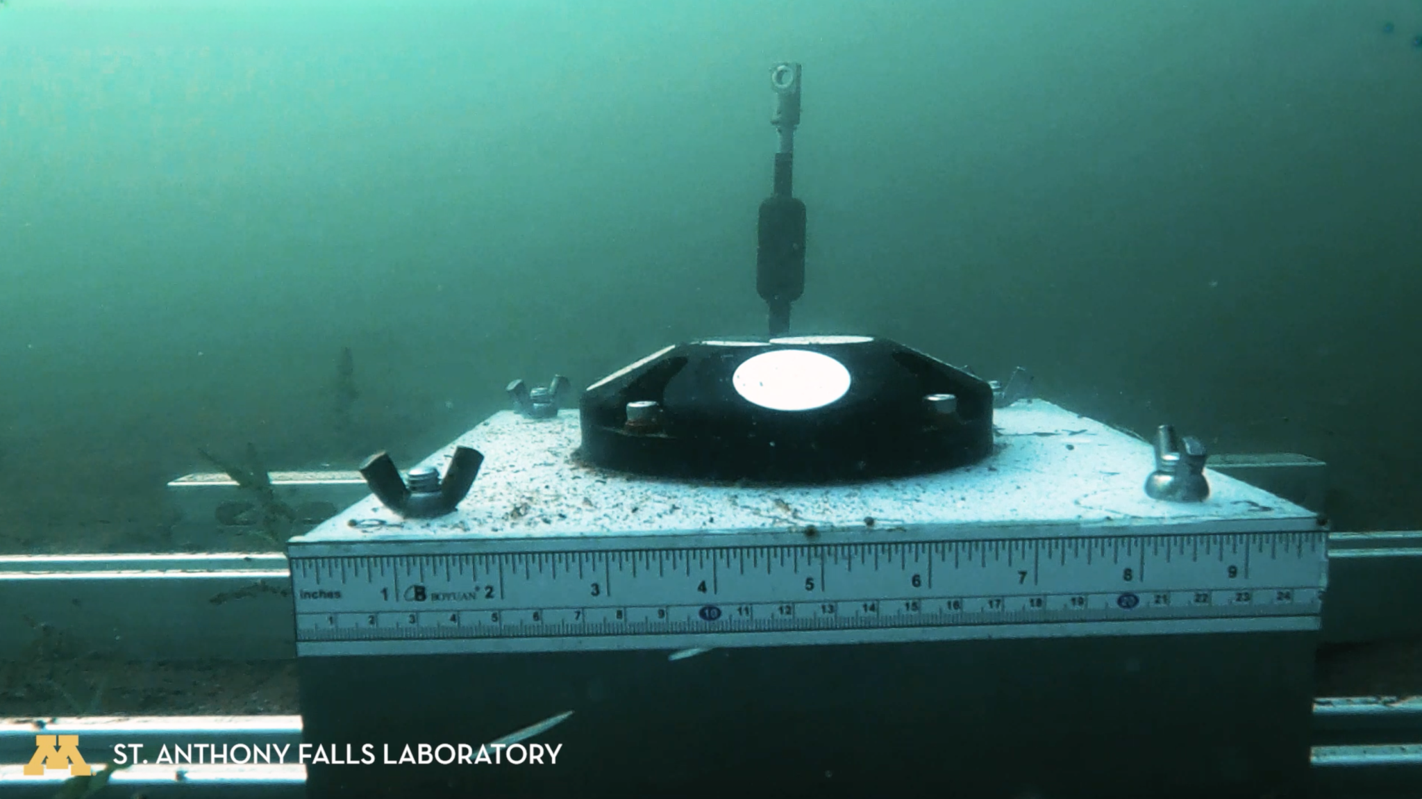
University of Minnesota study uses Signature ADCP to investigate the impacts of recreational powerboats on inland lakebeds
Wakesurfing is an increasingly popular activity on inland lakes in Minnesota, but the specially designed boats and mode in which they operate during…
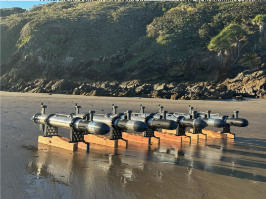
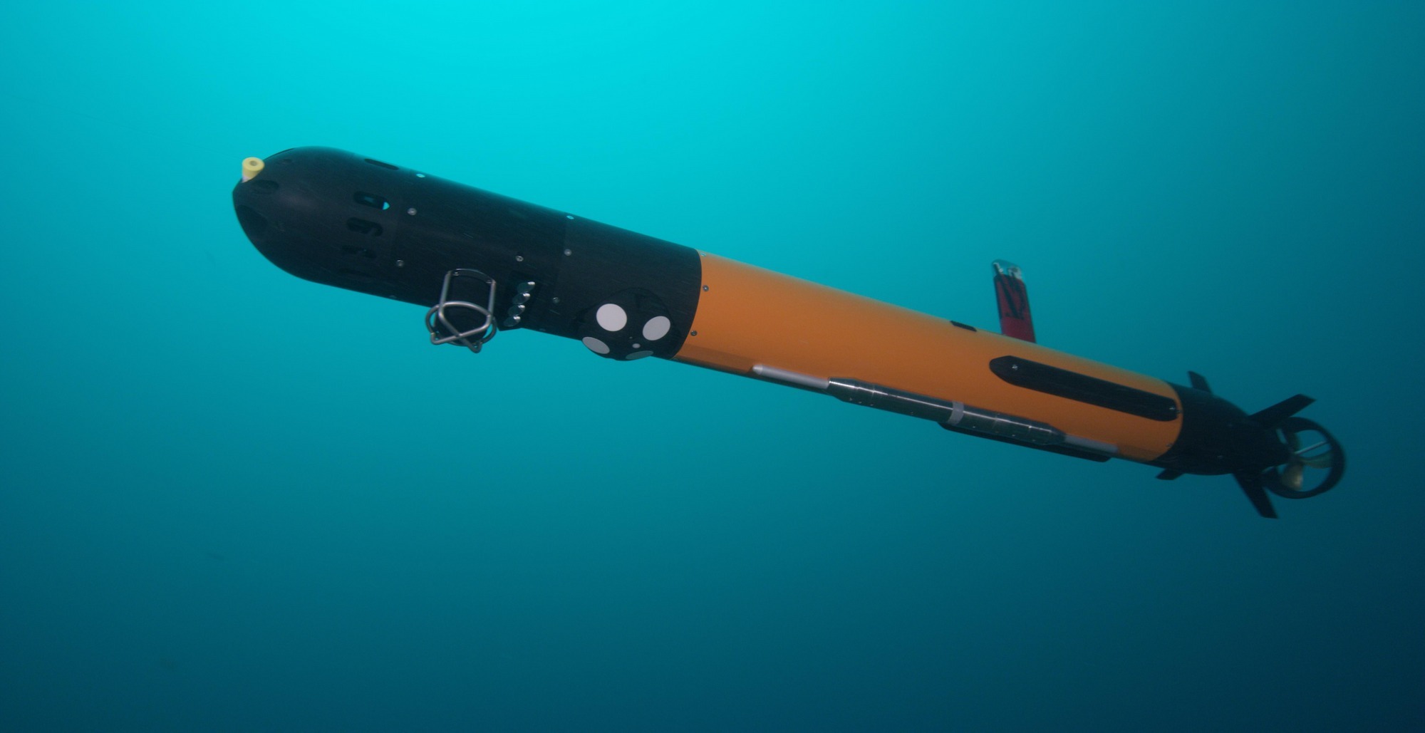
Vatn Systems leverages Nortek technology for driving precision and innovation in autonomous underwater navigation
Vatn Systems, a fast-growing innovator in autonomous underwater vehicles (AUVs), has built its reputation on delivering affordable, high-performance…