Signature ADCPs power offshore monitoring network
- User stories
Synopsis
Challenge
Monitoring key ocean areas, whether they are ecologically important zones that offer insights to larger processes or sites slated to become offshore wind farms, requires reliable and flexible environmental monitoring technology systems.
Solution
Norway's Institute of Marine Research uses advanced ocean landers equipped with a variety of sensor technology, including Nortek Signature ADCPs to measure ocean currents.
Benefit
The landers are used for monitoring both at IMR's Lofoten-Vesterålen Ocean Observatory and at future wind farm sites to gather baseline data and provide insights on the oceanography and ecology of the areas.
Off the coast of the Lofoten Islands of northern Norway lies the Lofoten-Vesterålen Ocean Observatory (LoVeOcean). This observatory is situated on a productive coastal shelf-slope area, home to key ecological events such as plankton blooms and fish migration. The observatory network has seven “nodes” designed to gather environmental data, primarily from landers equipped with various sensors, including Nortek Signature ADCPs.
These landers are designed for flexibility and adaptability both as part of the observatory network and when deployed in other applications. Historically, their primary use has been to gather data for scientists and researchers at Norway’s Institute of Marine Research (IMR), but more recently, they were deployed off the coast of Norway to develop baseline environmental information ahead of the construction of offshore wind turbines.
Flexible technology for use across applications
Developing the landers for use at the observatory and beyond has not happened overnight.
“It’s sort of been a research and development project in itself,” explains Geir Pedersen, project leader at the observatory and researcher at IMR. After years of improving the landers for robustness and reliability in close collaboration with marine technology company Develogic, who deliver the landers, Pedersen says they are ready to be used in other applications.
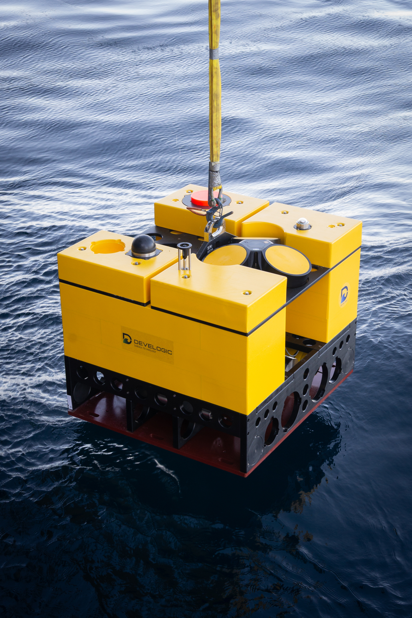
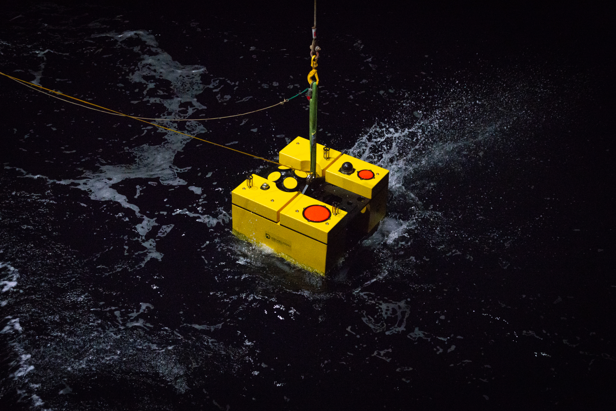
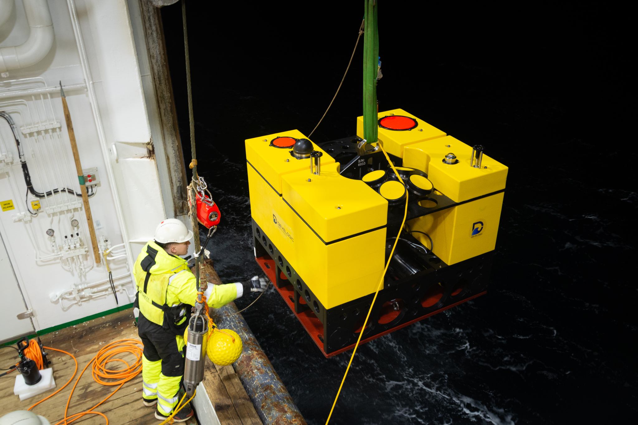
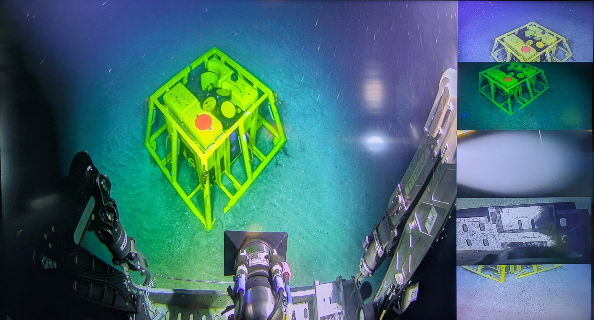
The landers are equipped with sensors that capture information about both the biology and physics of the area. This includes echosounders for gathering information about biomass such as plankton, CTDs for collecting physical parameters, cameras recording benthic fauna and flora, and Nortek Signature ADCPs for measuring current profiles. Each lander has slightly different equipment onboard, offering flexibility in the applications they are used in.
Scientific monitoring in an ecologically important area
According to Pedersen, the data captured at the observatory are used to understand the ecology of the area and track important fish species.
“One of the key topics is to monitor the timing of the spring bloom of phytoplankton and zooplankton,” he explains. “Additionally, we aim to monitor how those plankton distribute vertically and horizontally, as this is really key for several of our most important fish stocks, ecologically and commercially, particularly the Northeast Arctic cod and the Norwegian spring spawning herring.”
Pedersen explains that these fish species both migrate through the location of the observatory to spawn, and subsequently, eggs and larvae drift back through the same area with the larvae feeding on the zooplankton bloom.
“Tracking the timing of the migration, drift, and zooplankton bloom allow us to see if there are any indications of shifts which might have serious consequences on the stocks,” explains Pedersen.
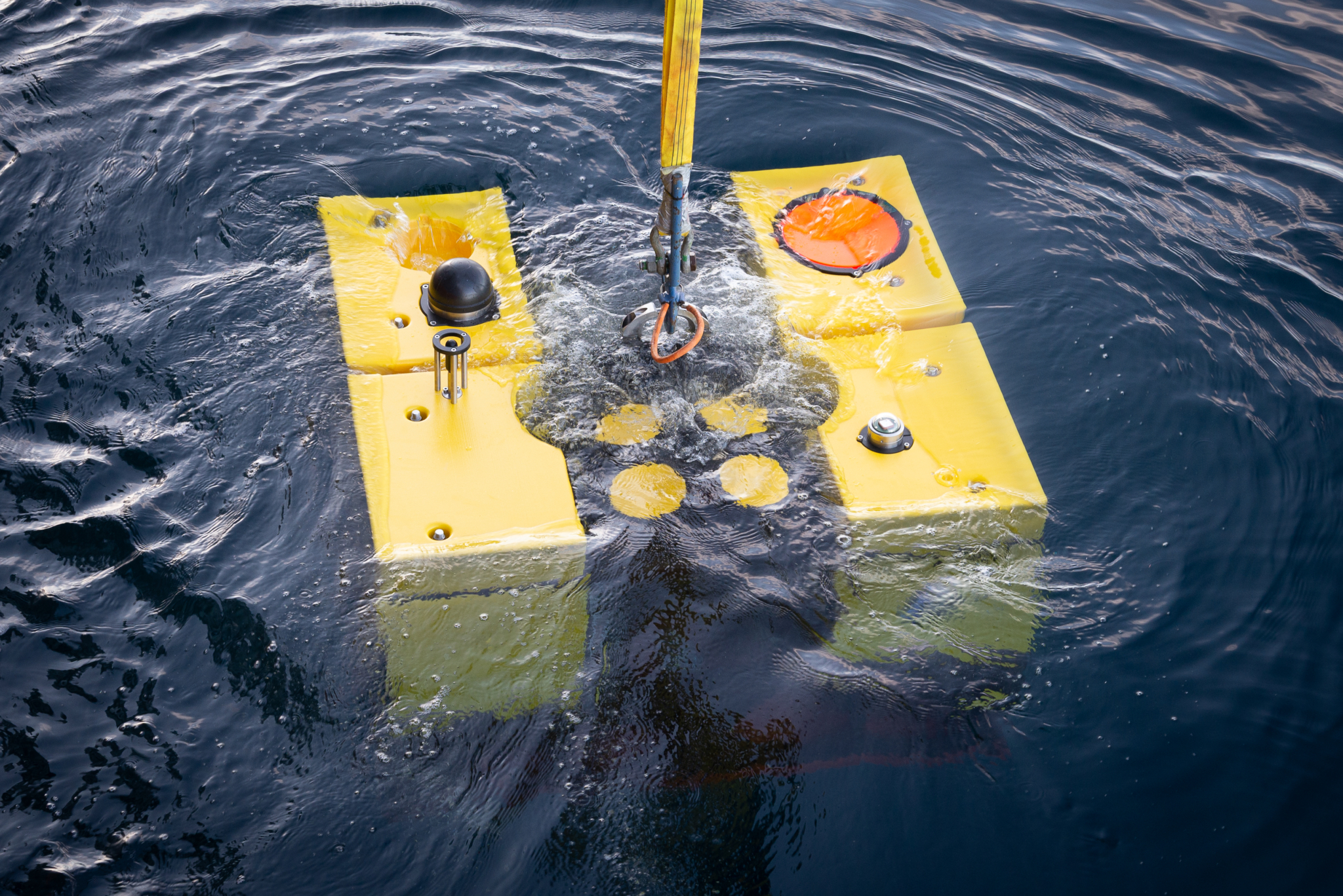
By measuring current speed and direction, echosounder data showing biomass, and tracking additional parameters using CTDs and other sensors, the landers provide a tapestry of data for use by researchers at IMR for answering research questions on topics like these.
Deploying landers ahead of offshore wind farm construction
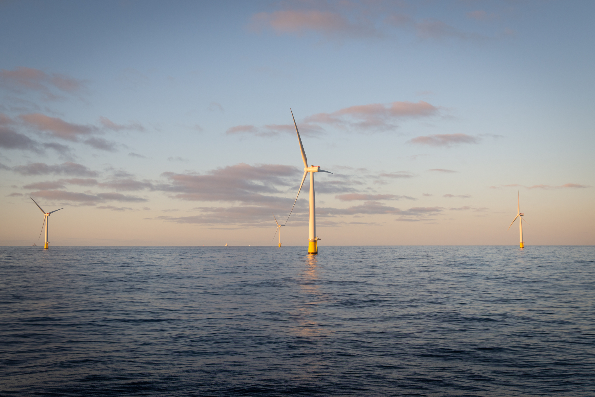
Most recently, Pedersen and a team deployed five of these landers for use in a different type of project: gathering baseline environmental information in areas where offshore wind turbines are planned to be constructed in the coming years.
Pedersen explains that IMR has been working closely with the Norwegian Water Resources and Energy Directorate (NVE) over the past few years on a series of baseline studies and baseline monitoring projects for upcoming offshore wind sites. The recent deployment is part of a larger monitoring scheme for two areas where offshore wind will be developed: “Vestavind F,” a deeper-water site where floating wind turbines will be installed, and “Sørvest F,” a shallower-water site where traditional monopile wind turbines will be built.
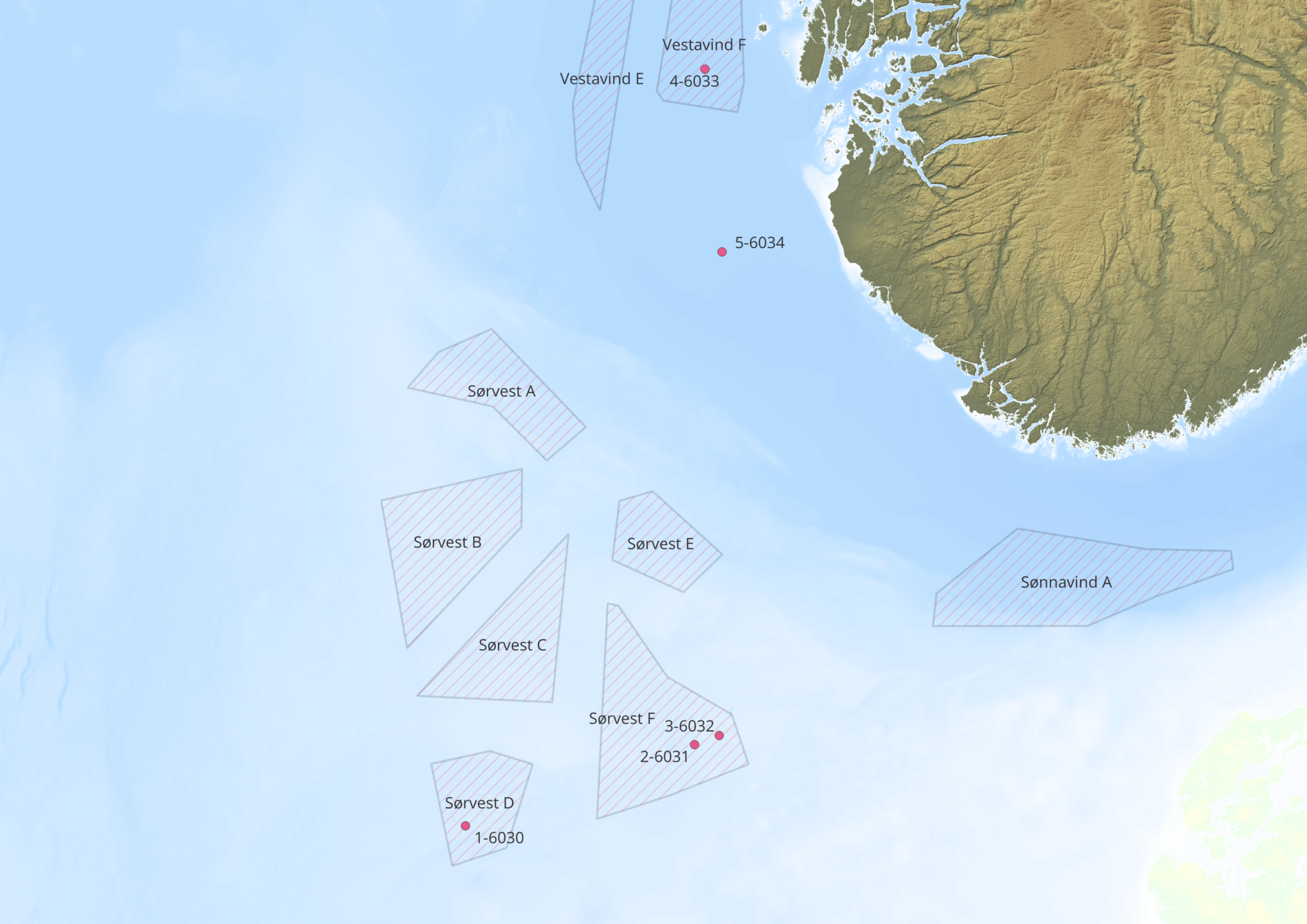
The team deployed 1-2 landers within each area where the wind turbines are planned, and an additional lander in a nearby “control” location outside each site. The baseline environmental data collected from the landers will be used to determine if construction of the wind turbines, or the existence of the wind turbines, has an impact on the area. The landers will continue to provide data during the construction and operation phases of the wind farms, enabling a comparison of key environmental parameters.
Gathering baseline data from a wide array of sensors
Construction at these areas is not planned until after 2030, but according to Pedersen, having several years of data is essential to building a true baseline, as is having a wide array of sensors and data collection methods. The team will not only measure currents and other physical parameters from the landers, but also gather information from hydrophone arrays, ROV monitoring, and traditional cruises and sampling.
“The hope is that using all of these things together gives us a better picture of what the natural situation is in these areas,” he explains. “We will continue to monitor this throughout the construction phase and operational phase, and that will give us a good ground to tell whether or not these [turbines] actually influence the physical oceanography and/or the ecosystems.”
Long-range ADCPs for reliable current measurements
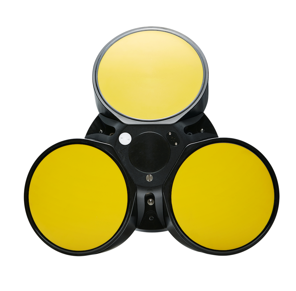
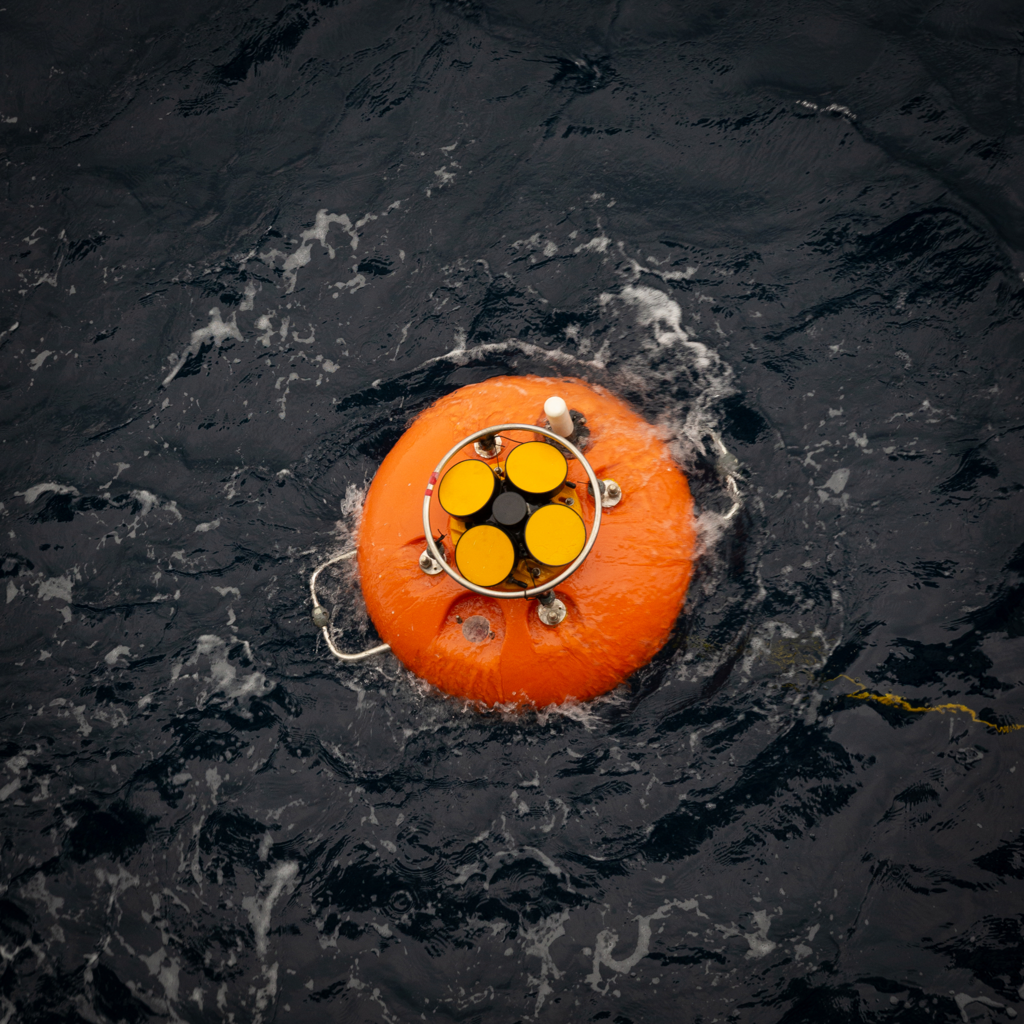
A central sensor onboard the landers is a low-frequency Nortek Signature ADCP, some with a Signature 55 and others with a Signature 100. Pedersen explains that the team selected the Signatures because of their long profiling range and low power consumption, ideal especially for deployments requiring the landers to operate autonomously on battery power for long periods of time.
“The data quality is good, they’re energy efficient, and the specs fit our scientific needs,” says Pedersen.
The Signature 55 can collect profiles over more than 1000 m range, while the Signature 100 measures over a 300-400 m range. Pedersen explains the ADCP selection is tailored to the deployment location: most sites at the observatory are around 200 m depth, making the Signature 100 an appropriate choice, but one deeper site (900 m) requires the long-range capability of the Signature 55. The offshore wind sites, on the other hand, are all between 60-300 m depth, meaning the Signature 100 can capture current profiles over the entire water column at those sites.
Current measurements are key
Equipping the landers with current measurement tools is essential for studies at the observatory and at the offshore wind sites alike. Pedersen explains the location of the observatory on the coastal shelf-slope area makes it possible to capture information about several vital ocean currents using ADCPs.
“On the shelf we have the Norwegian Coastal Current, which is quite important, and we have the Atlantic Current’s warm water on the shelf slope,” he says. “One of the tasks of the ADCP is to measure and monitor those.”
In turn, the in-situ data from the ADCPs will be compared to and input into operational models, to both validate and improve models of these two ecologically important currents.
When it comes to the offshore wind sites, gathering current information is also essential.
“One big thing is, when the wind turbines are installed, do they modify the current? Do they modify the oceanography? And if so, does that have an impact on the ecosystem? That’s a really key thing,” explains Pedersen.
Ongoing monitoring and future progress
The IMR team will retrieve the landers deployed at the offshore wind sites after a year of data collection to download data and begin to build the baseline. According to Pedersen, there are other sites that are potentially being considered for offshore wind construction in the future, so the team will continue to develop and plan the most efficient methods of obtaining essential data.
The landers at the observatory will also be retrieved for data collection in another year, continuing to build the publicly available data repository that the observatory provides. Pedersen notes that the data collected at the observatory are currently under-utilized, encouraging others to explore ways these data could be used for future research.
These projects were made possible by funding from Equinor, the Norwegian Research Council, the Norwegian Ministry of Trade, Industry and Fisheries and the Norwegian Water Resources and Energy Directorate.