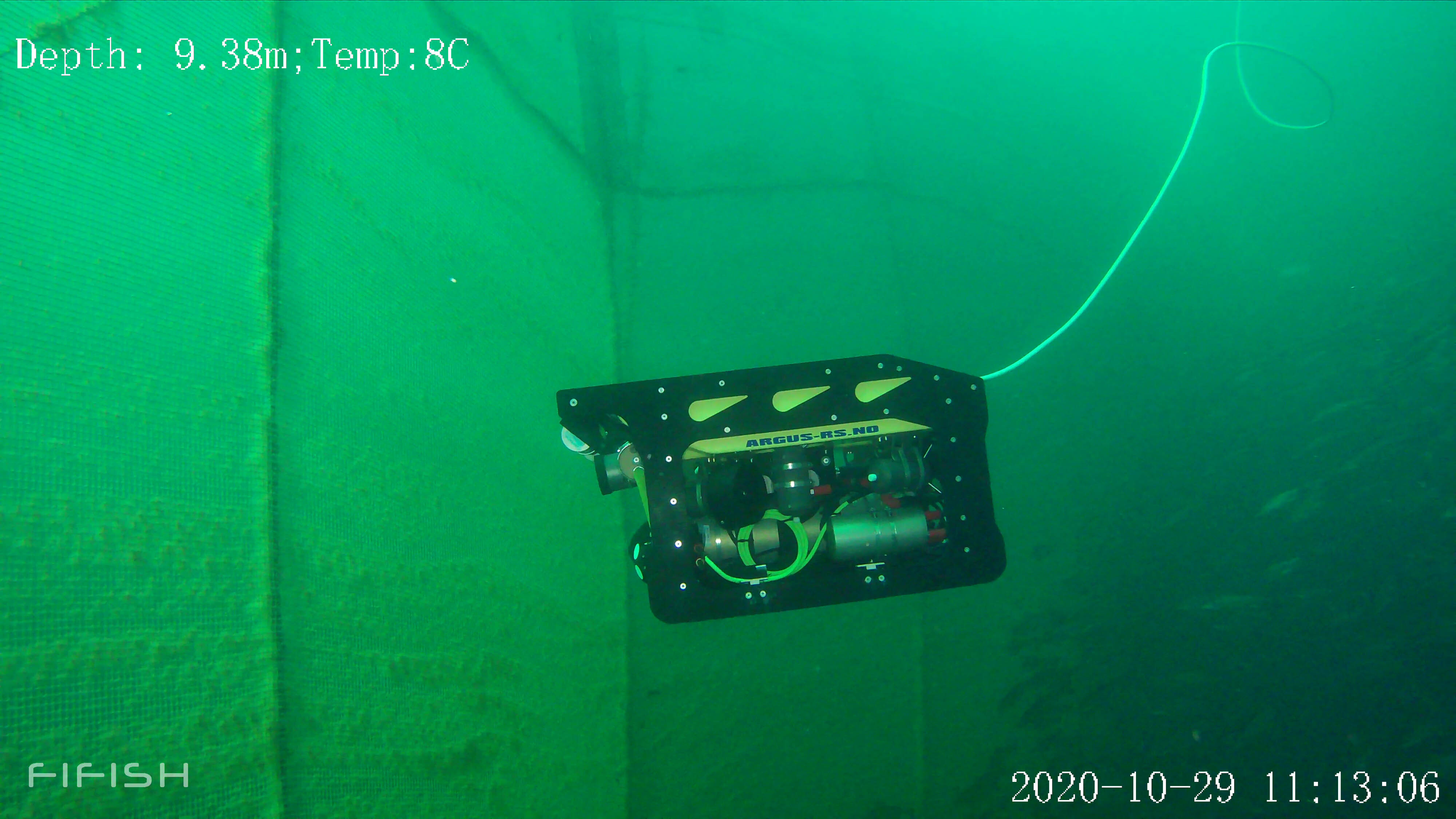
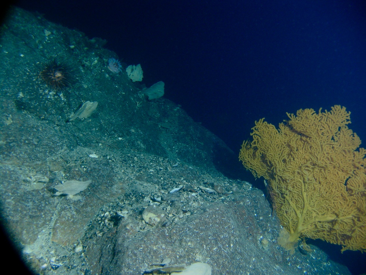
Using a DVL on an ROV to map a horizontal wall
- Educational videos
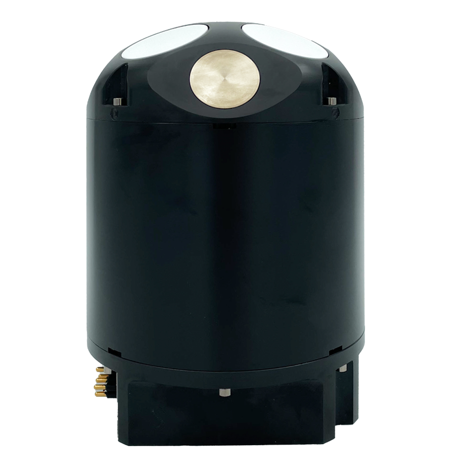
Navigation
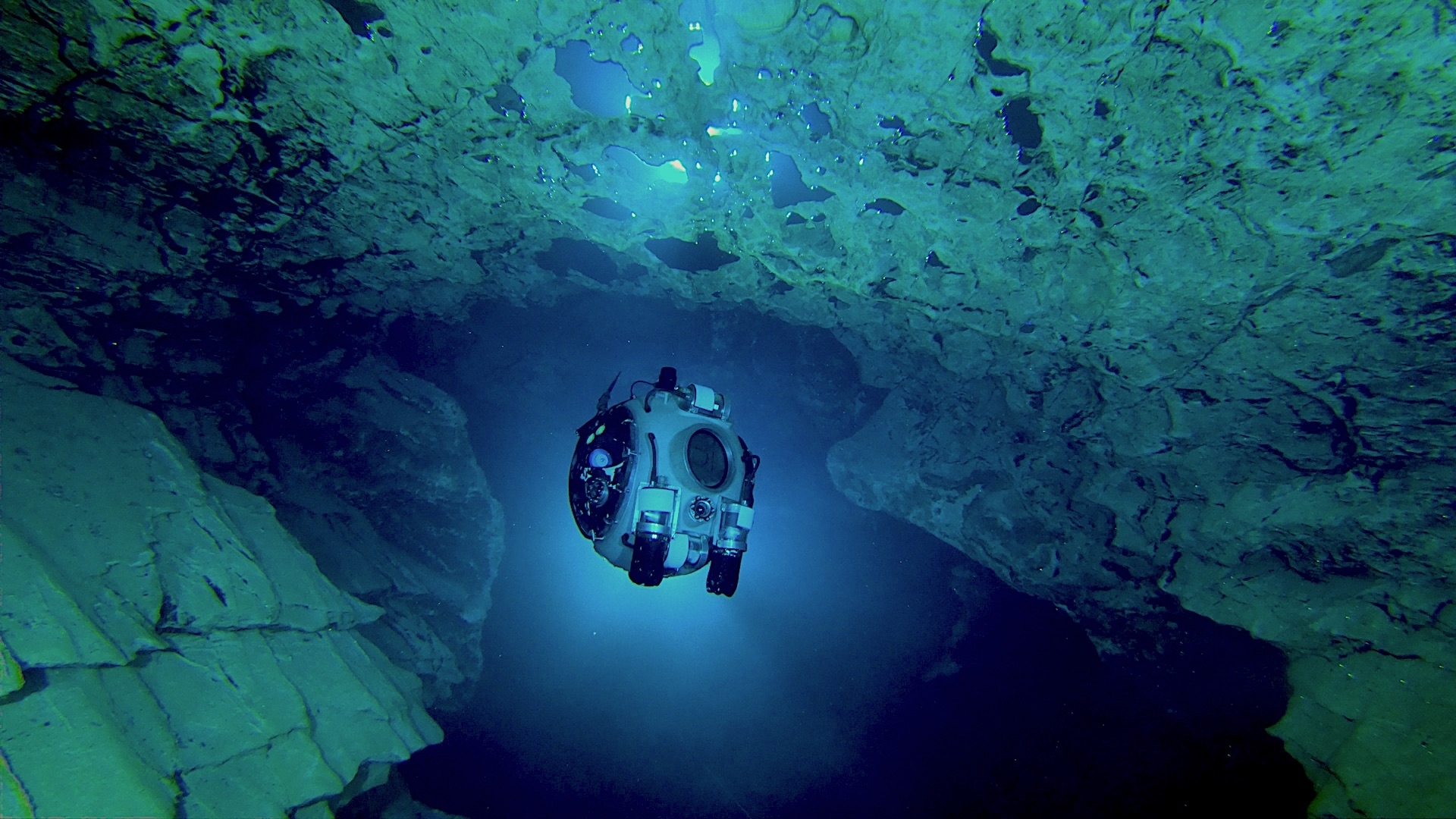
Bottom-track from over 0.1 to 75 m range; 300 m max. operational depth
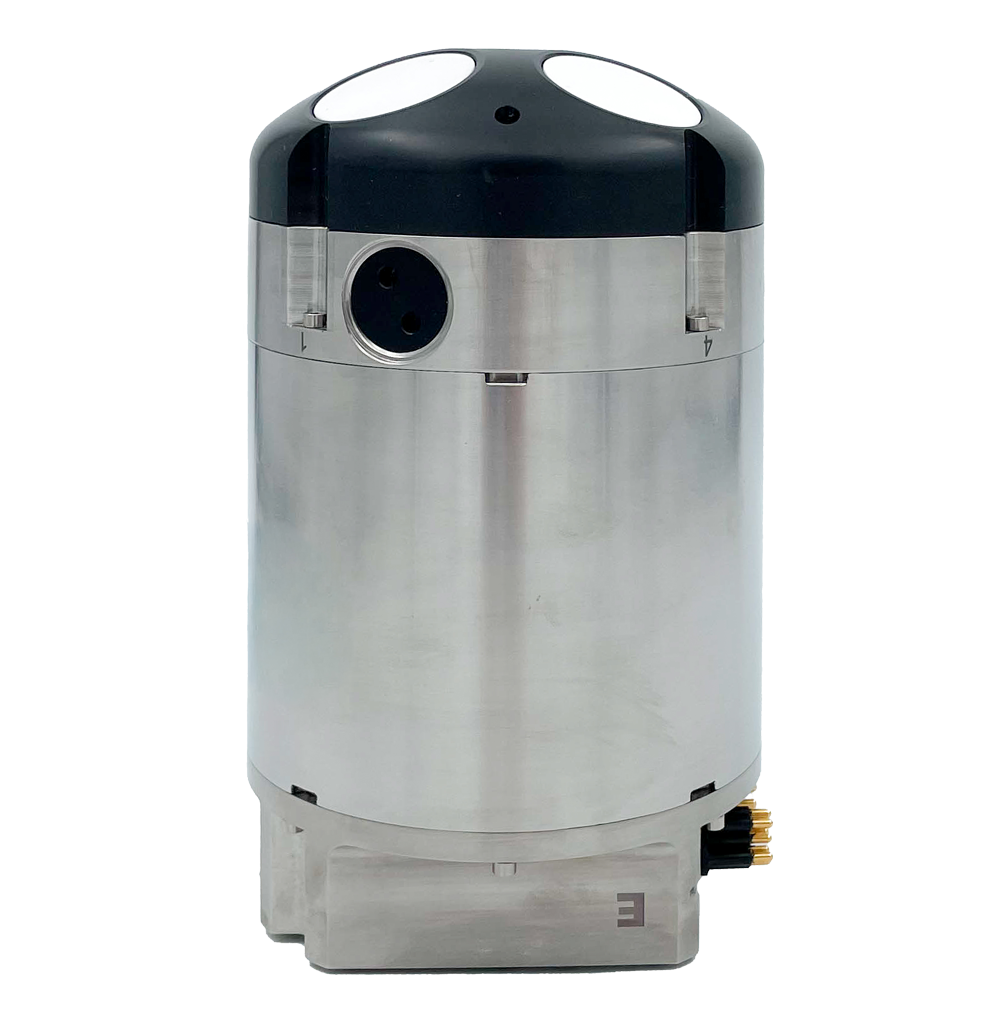
Navigation
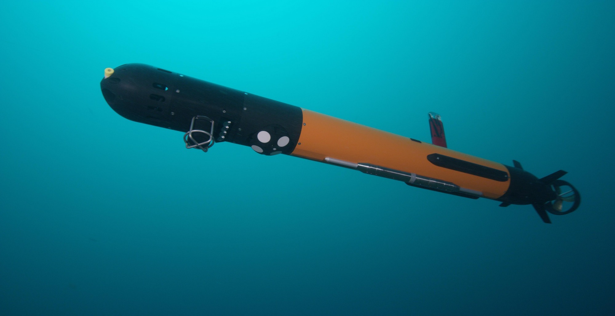
Bottom-track from 0.1 to 175 m range; 6000 m operational depth
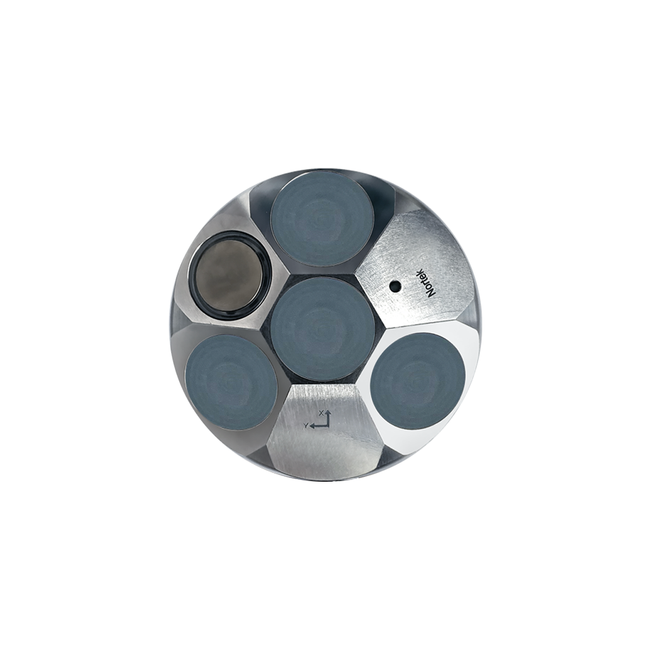
Navigation
A sensor hub that makes vehicle control and navigation possible.