Observing flow patterns with the Eco ADCP to understand the formation of sandy coastal features
- User stories
Synopsis
Challenge
Understanding the effect of tidal currents and waves on sediment transport processes is important to ensure integrity around artificially reinforced dikes, a common feature of the Netherlands.
Solution
Researchers at Delft University of Technology and Utrecht University used Nortek Vectors, Aquadopp Profilers, Ecos, and a SignatureVM system to build a comprehensive picture of currents on sheltered beaches.
Benefit
The Eco ADCP’s automatic filtering and ability to view current data in the field provided key insights for preliminary investigations, which were supported by longer term measurements from Nortek’s other ADCPs.
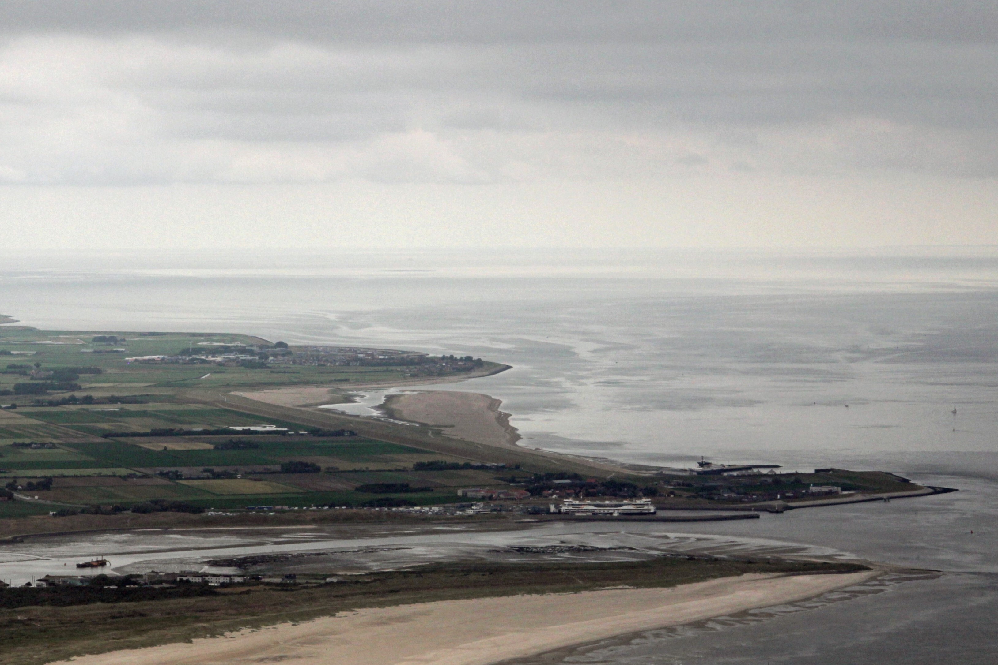
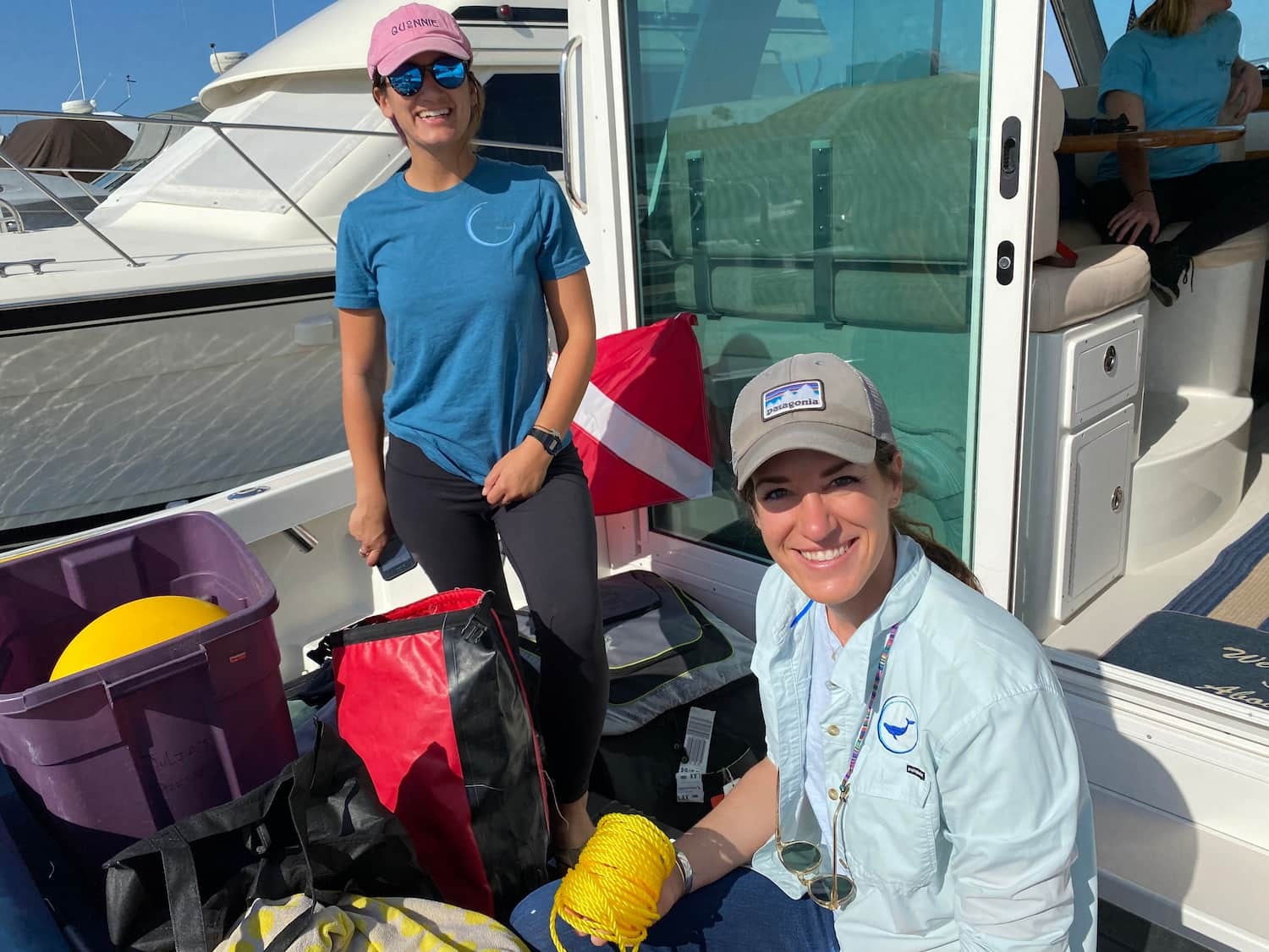
A team of researchers from Delft University of Technology in cooperation with Utrecht University have executed a field measurement campaign at the artificially reinforced sand dike Prins Hendrikzanddijk on the Dutch Wadden Sea island of Texel.
These measurements will be analyzed as part of the Effective Upgrades and Retrofits for Coastal Climate Adaptation (EURECCA) project to better understand the influence of tidal currents and waves on the behavior of sediment transport processes on sheltered beaches.
Assessing ADCP performance and usability for sediment transport process research
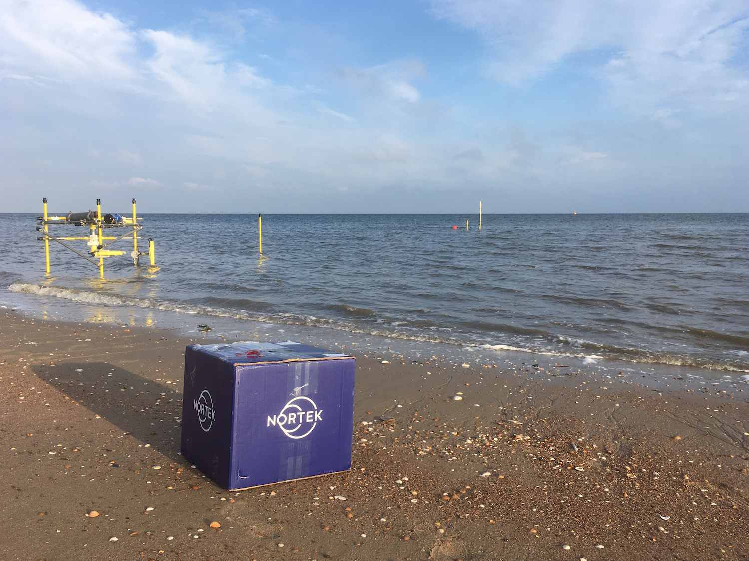
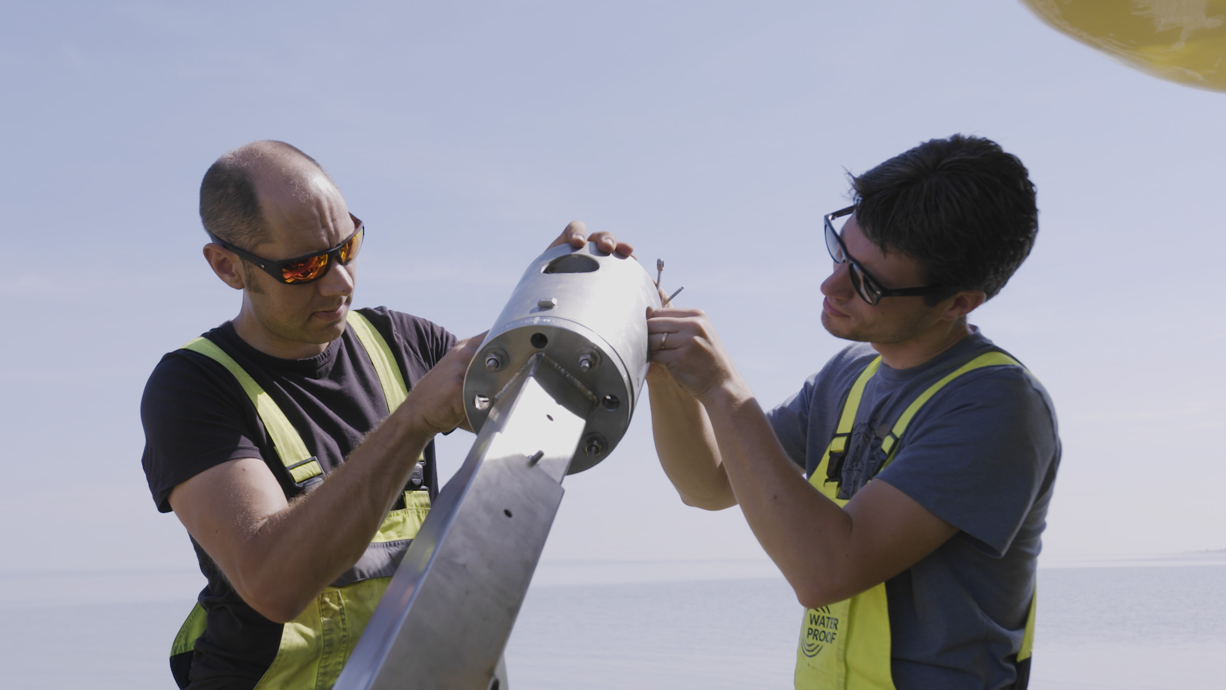
During the field campaign, several Nortek instruments were installed in a range of measurement arrays along the beach to understand the hydrodynamics that cause sediment transport. These included Nortek Vectors and Aquadopp Profilers. ADCP measurements were also taken from a moving vessel using a vessel-mounted Signature VM ADCP. During the campaign, hydraulic engineering student Ruurd Jaarsma performed test deployments with the Eco current profiler to assess its performance and usability in the sediment-rich nearshore waters.
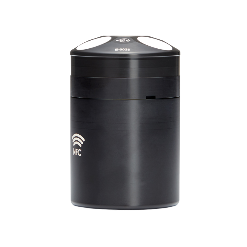
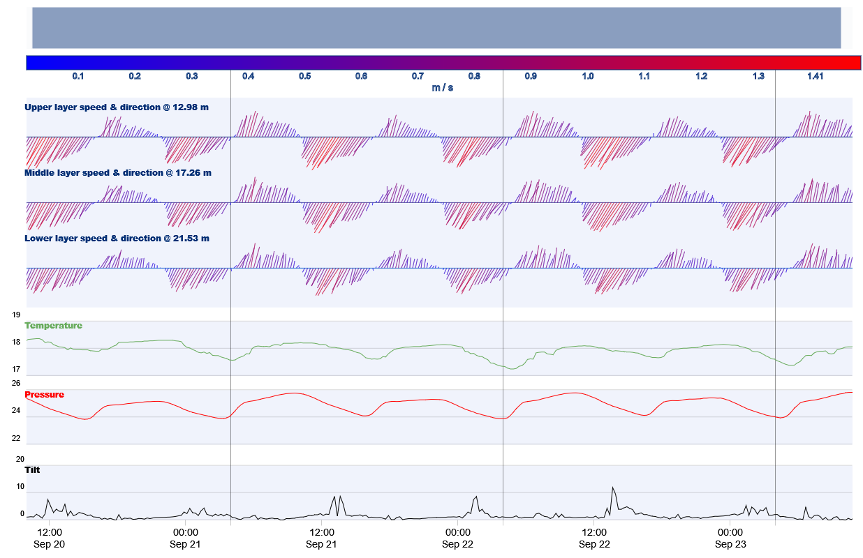
Quick and easy interpretation of tidal currents from the Eco ADCP
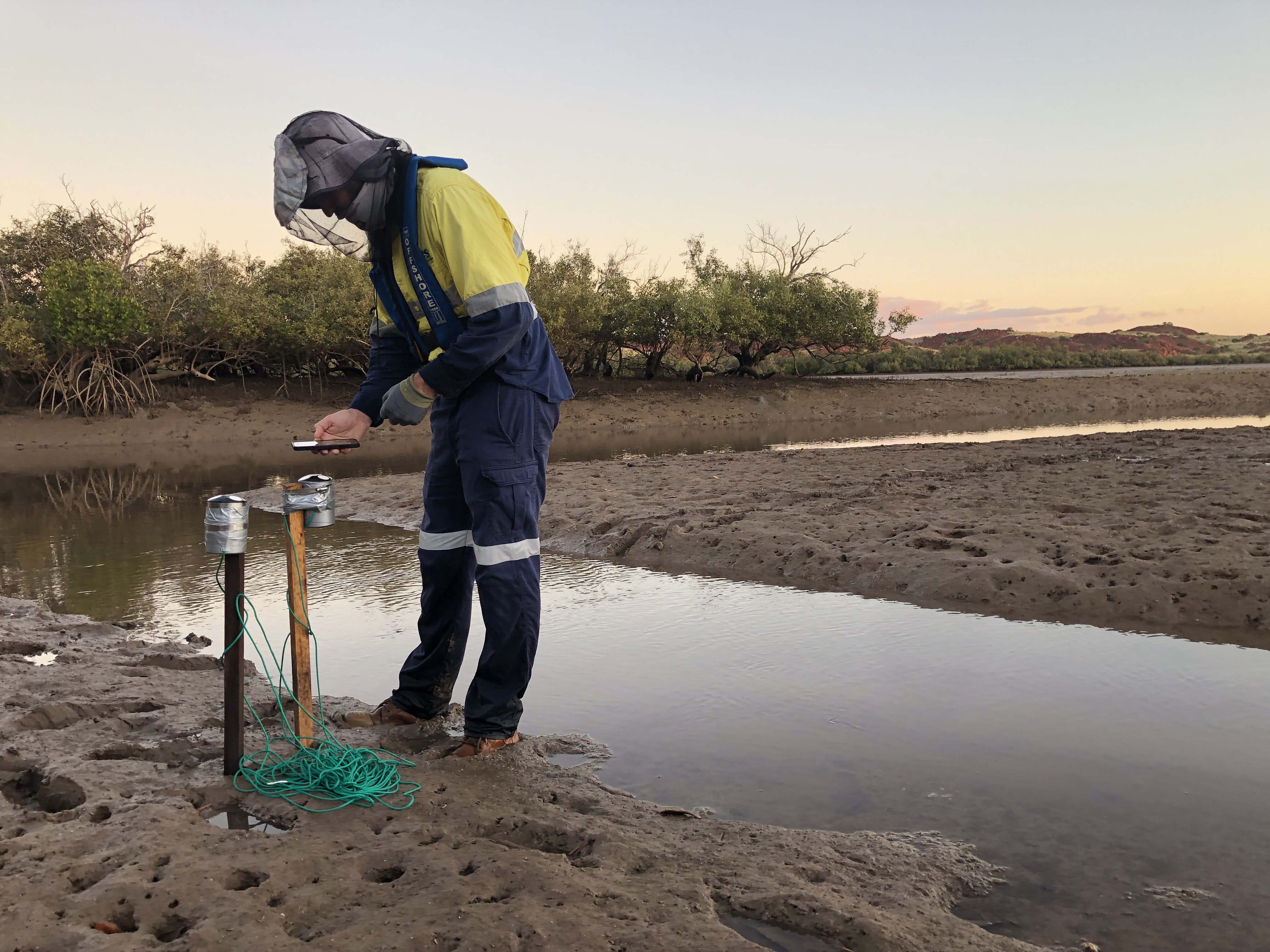
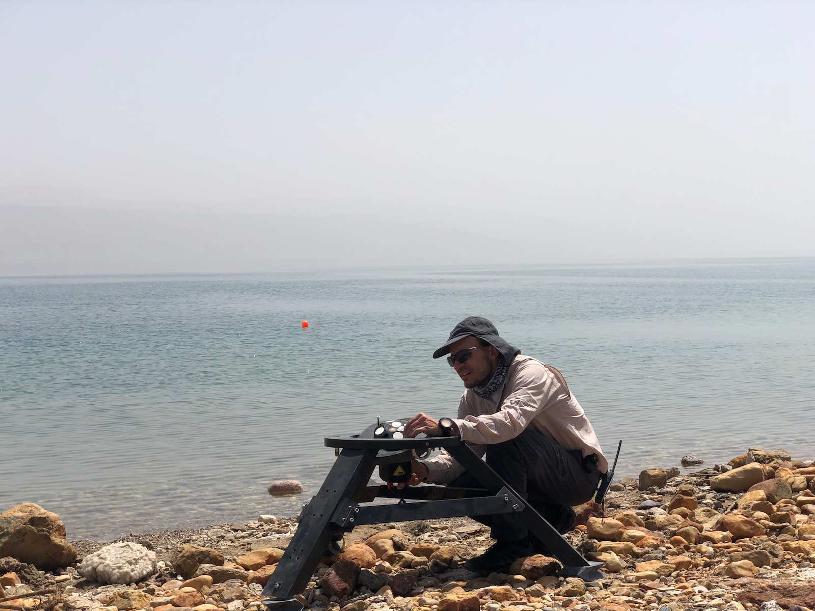
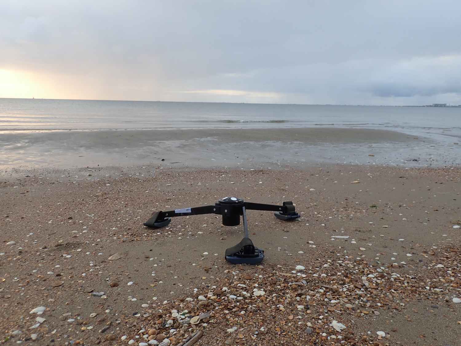
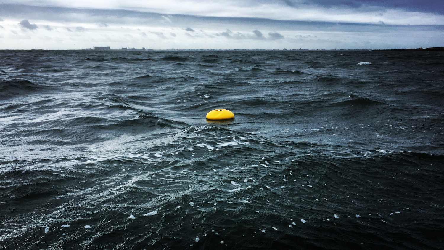
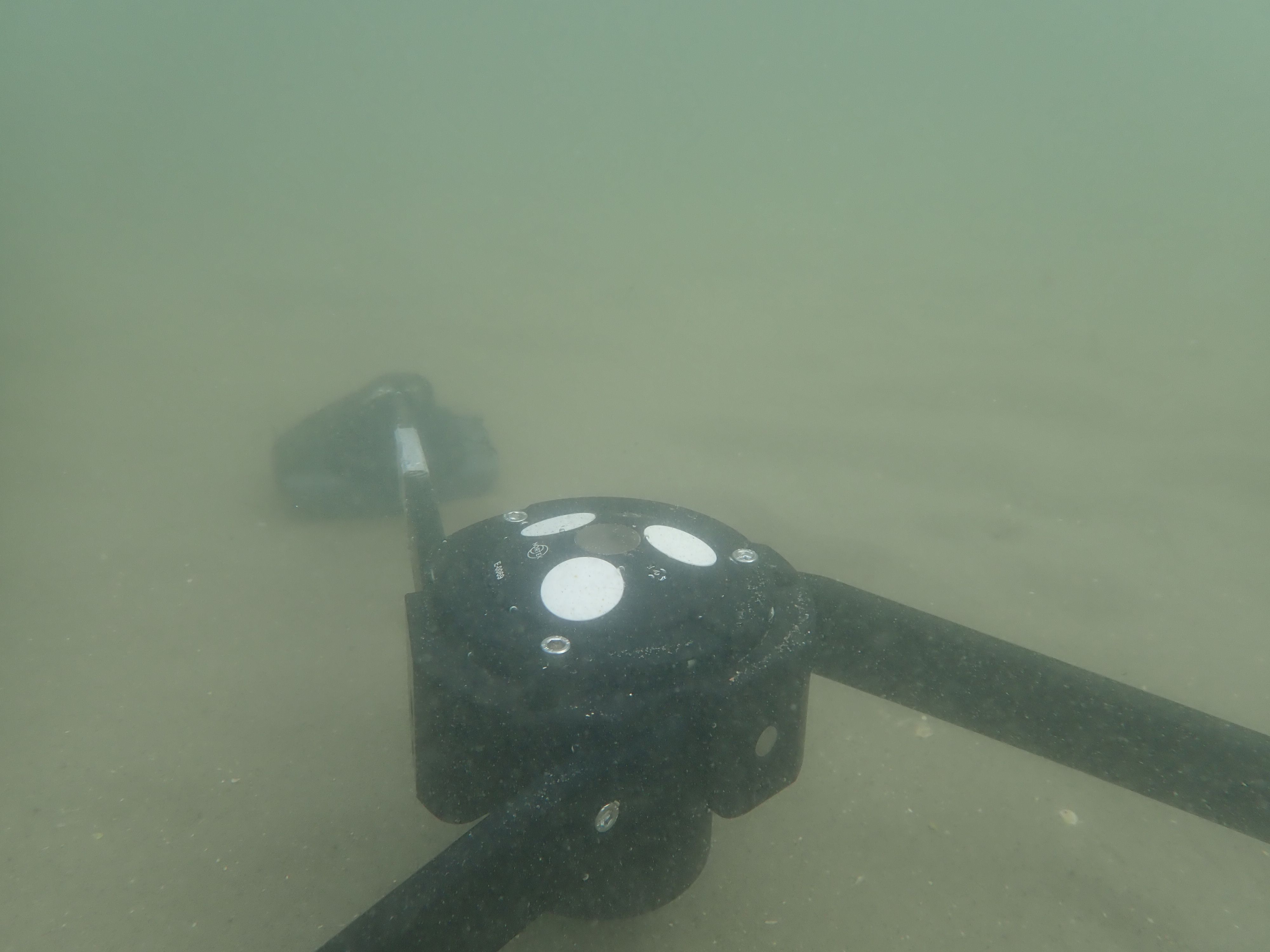
The Eco was deployed using both of its custom-made deployment solutions: a buoy system and a tripod. The bottom-mount tripod system proved to be a very suitable solution to deploy the Eco on the shallow underwater platform just off the beach, while the buoy system allowed for a deployment in the 25 m deep tidal channel close to the island.
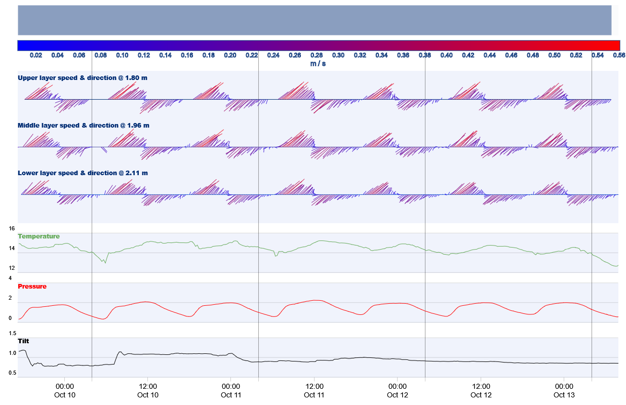
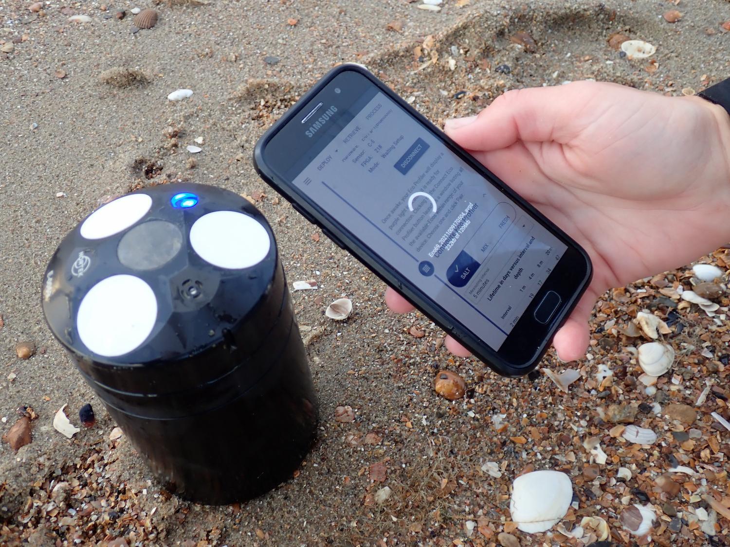
After retrieval, the measurements were downloaded and the instrument was reprogrammed for the next deployment, all using the Eco app. Any erroneous data (for example, when the amount of suspended sediment in the water became very high) was removed automatically by the Eco’s filtering algorithm, allowing for a quick and easy interpretation of the measured currents right from the Eco app.
Coastal researcher Marlies van der Lugt, who led the field campaign on behalf of TU Delft, used the Eco ADCP to research flow patterns around a coastal feature that were unresolved in the installed measurement arrays. The Eco proved to be just the right tool for this due to its flexible deployment possibilities, allowing for choosing and changing position on the spot.
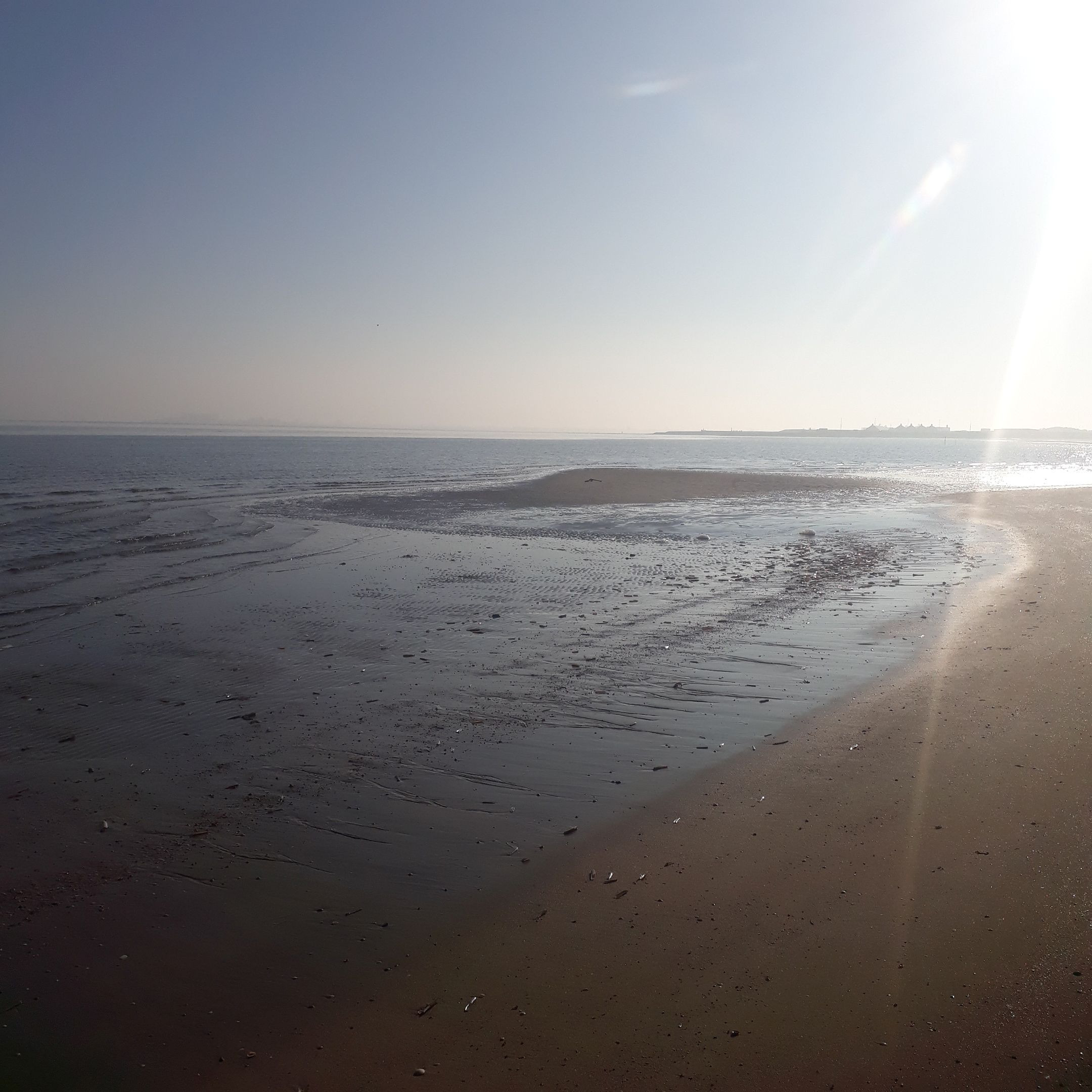
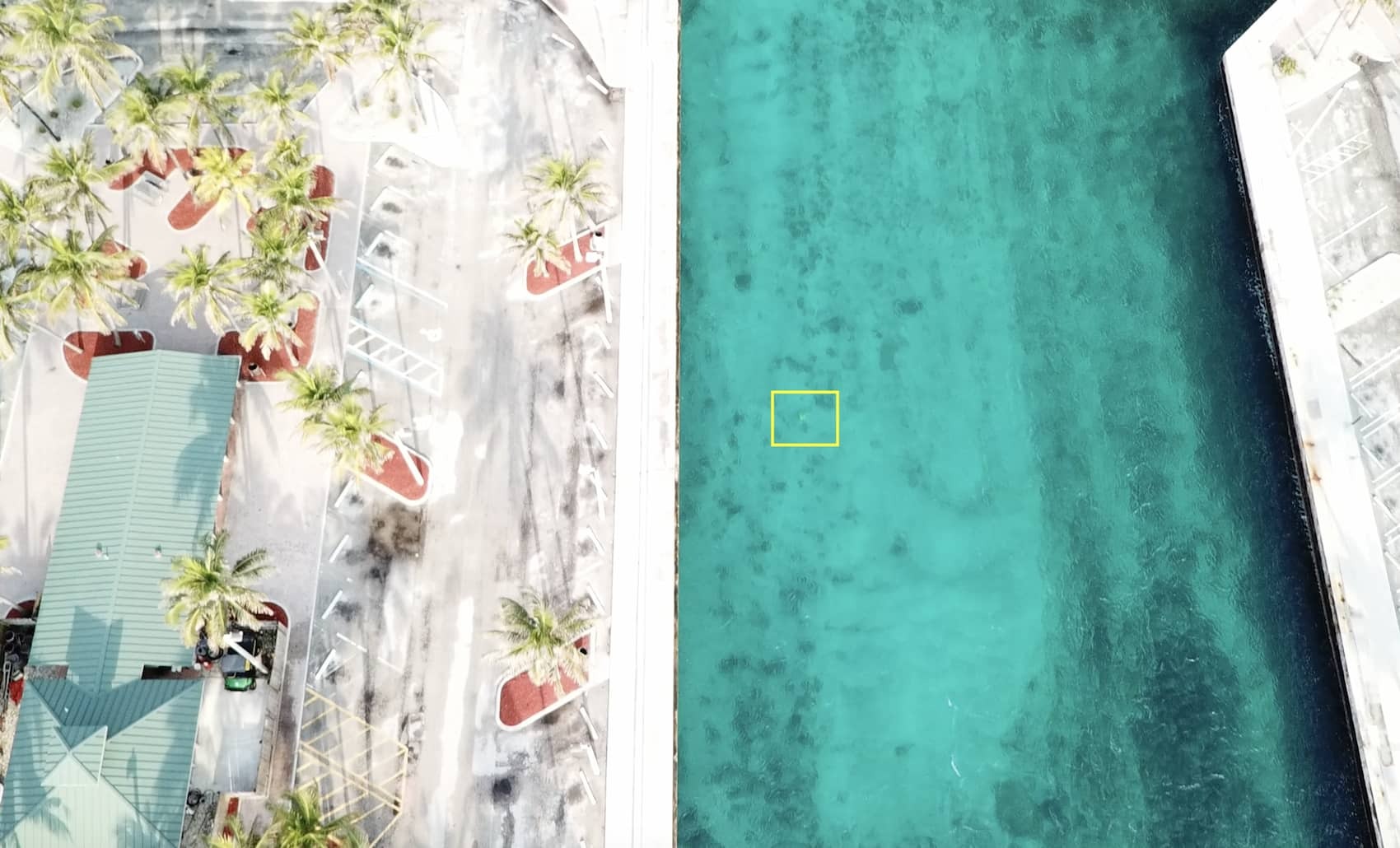
Van der Lugt used the Eco ADCP to measure current patterns around a salient – a coastal morphological feature where sand builds up out into the sea – that emerges during low tide.
Viewing current profiling data in the field with ease – using the Eco WebApp
According to Marlies van der Lugt, one of the Eco ADCP’s most powerful features was the possibility to review the measured currents right from the beach on her phone. “It’s great to view the current patterns in a visual manner while the impressions from the field are still fresh,” she says.
Van der Lugt also noted how she enjoyed not needing to use cables to deploy the Eco and retrieve the data. “Because there are no cables or connections, the chance of something breaking or going wrong is much reduced and it saves effort when deploying the instrument,” she adds.
Using the Eco ADCP to accompany advanced scientific current profilers
While Nortek’s traditional range of current measuring equipment, including the Vector and Aquadopp Profiler, are ideal for obtaining high-accuracy data for scientific research, the more simplistic Eco can have its own role in the process. Due to its flexible deployment capabilities and quick data readout, it could be used for several aspects of fieldwork, such as preliminary field exploration.
“By deploying it at a range of locations along a field research site, I would use the Eco to search for specific currents that could be interesting to research in more detail in a later stage,” she says.