Knowledge center
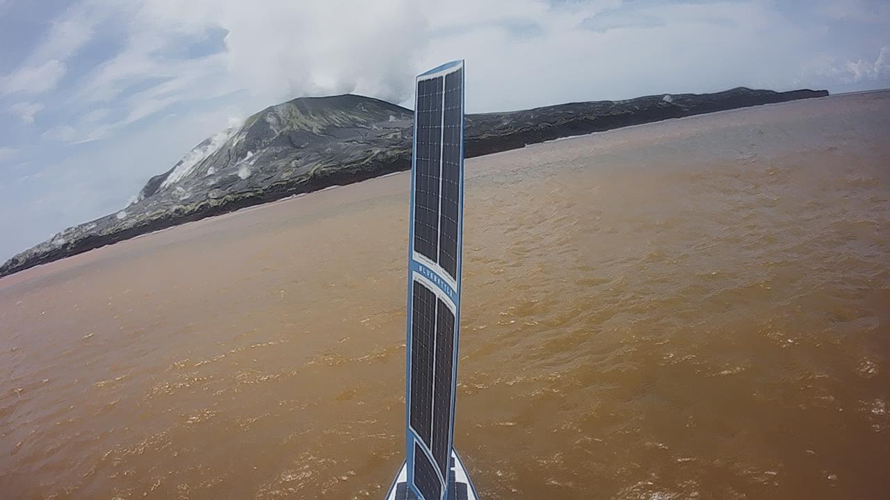
Safely collecting ocean current data near active volcanoes with a USV
The use of Uncrewed Surface Vehicles (USVs) in dangerous or challenging environments is becoming an increasingly common practice as the capabilities…
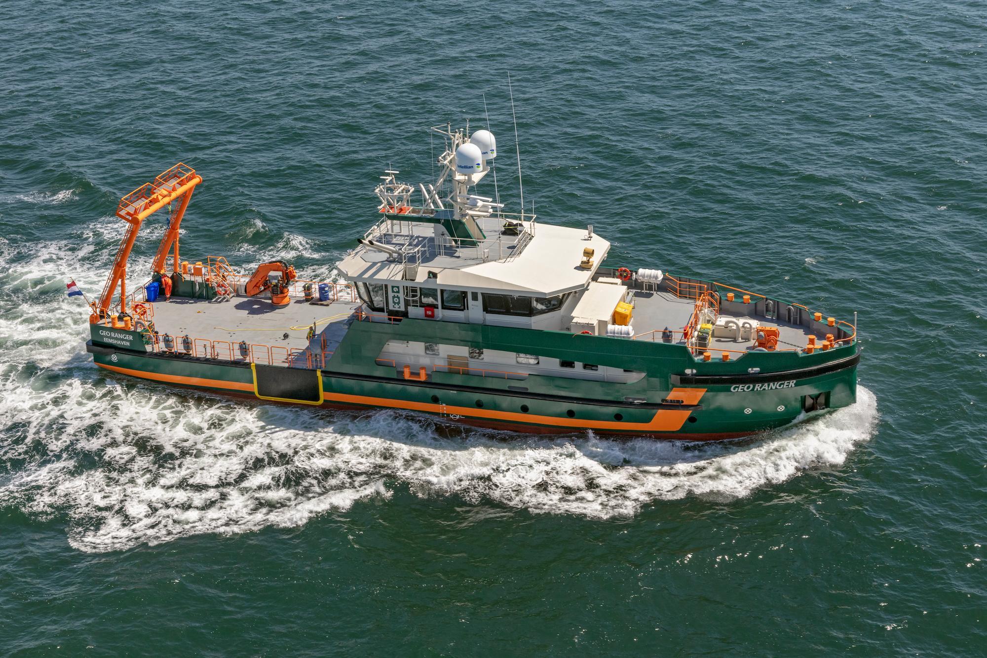
Why accurate data on speed through water is essential for sub-seabed survey vessels
Find out how oceanographic data from the vessel-mounted VM Operations ADCP helps surveyors map the sub-seabed for a new offshore wind farm…
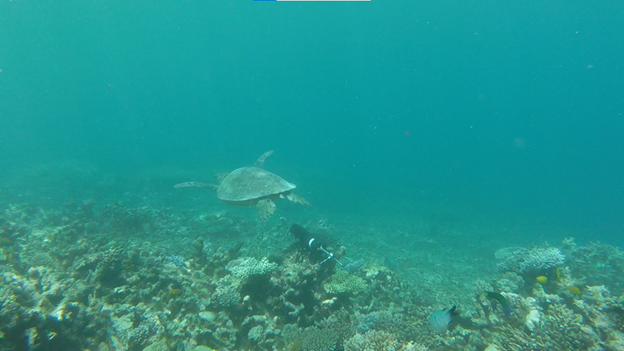
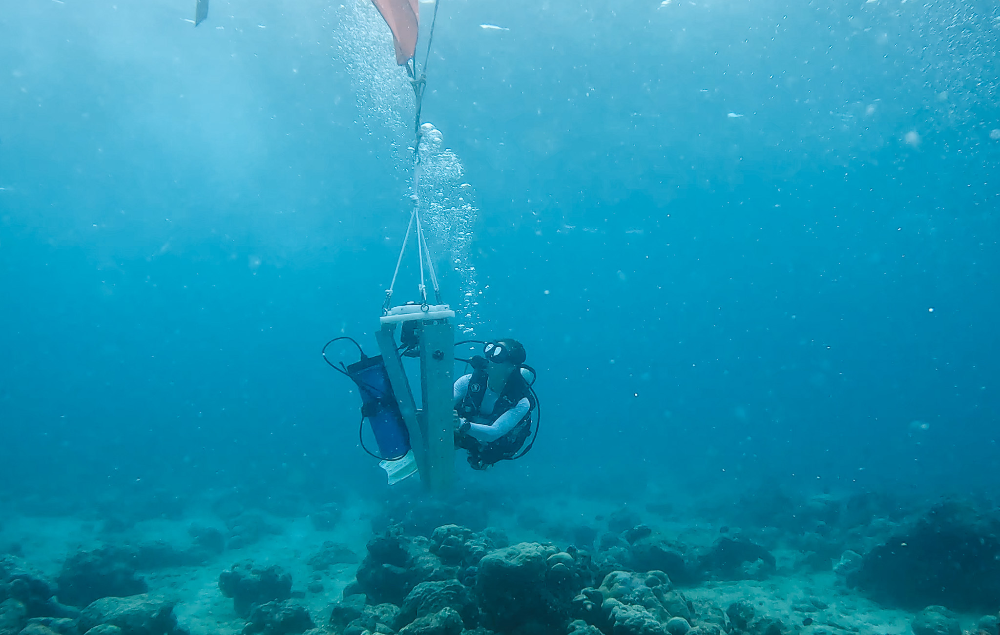
Investigating coral recovery on the Great Barrier Reef with acoustic instrumentation
Researchers at the Heron Island Research Station in Australia are using a Vector velocimeter to determine how much hydrodynamic energy it takes to…
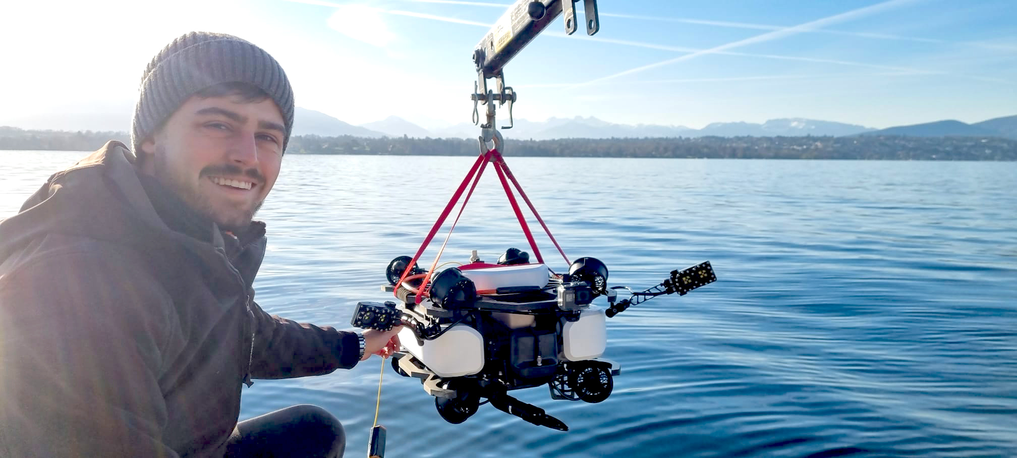
Accurate navigation for a compact ROV supports safer underwater inspection, search and maintenance
Divers can face difficult and dangerous conditions when performing essential underwater inspection, search and maintenance. Now a new ROV from…
Gathering current and wave data for coastal protection engineering in the Maldives
Find out how a marine consultancy relied on Nortek ADCPs for preliminary surveys of a lagoon in the Maldives ahead of the design and construction of…
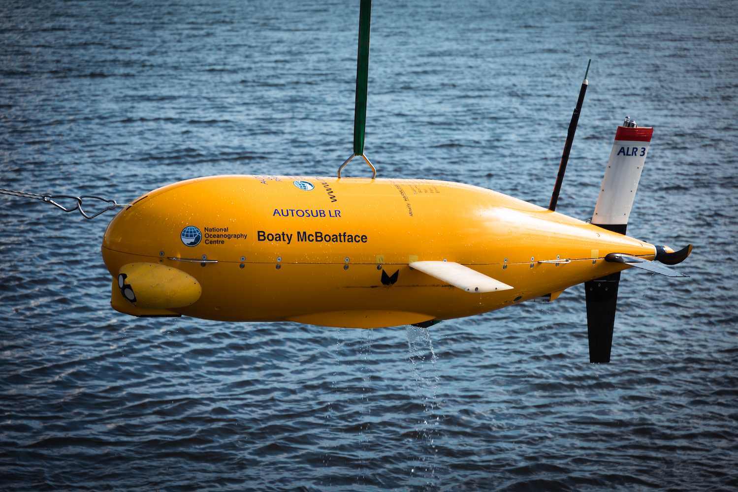
Navigation for long-range AUVs used in environmental monitoring
While the internet-infamous “Boaty McBoatface” name never made it onto the vessel it was initially suggested for, the name was passed to a smaller,…
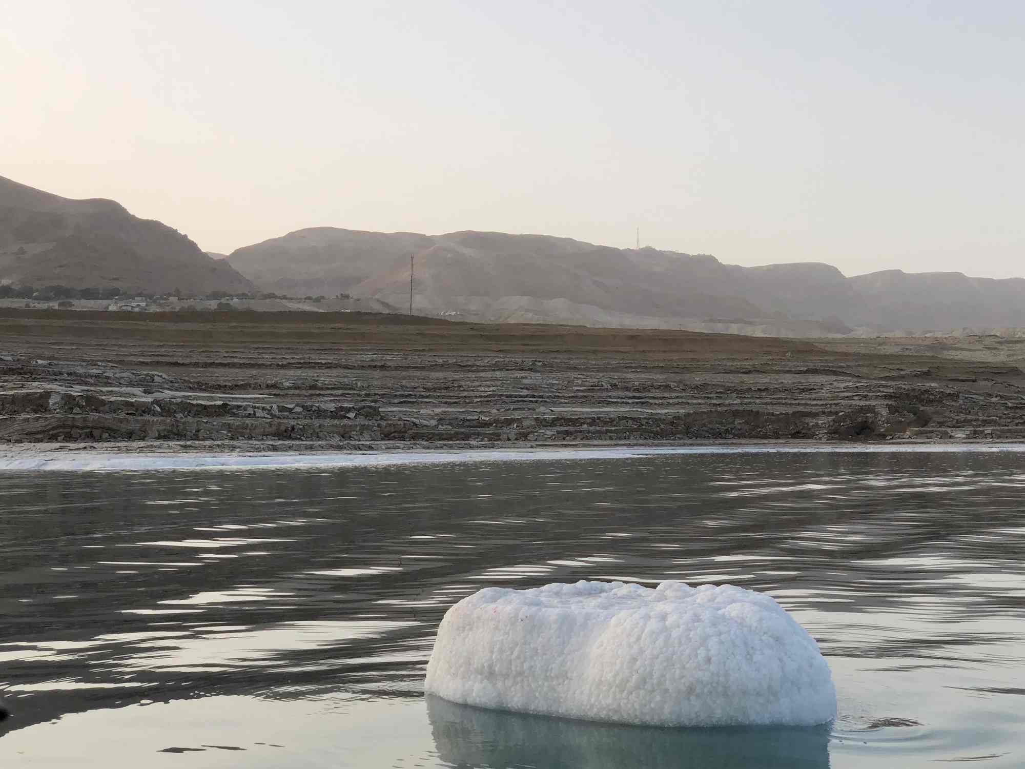
How atmospheric and oceanographic research helps improve understanding of past climates and geology
Studying the formation of salt layers in the Dead Sea helps researchers understand Earth’s geological history and past climatic conditions.…
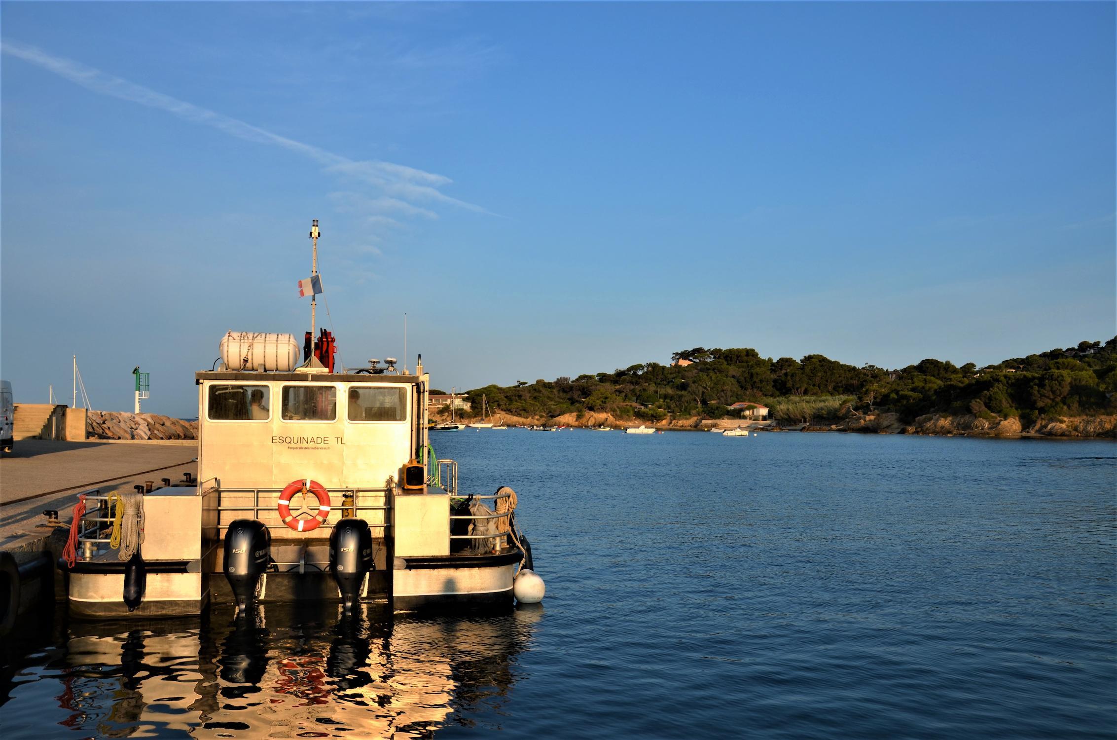
Exploring Mediterranean Sea waters with a state-of-the-art combined current profiler and echosounder
A test deployment in the Mediterranean shows how the Signature100 current profiler – with dedicated echosounder functionality – provides…
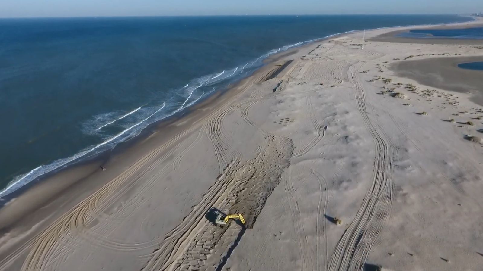
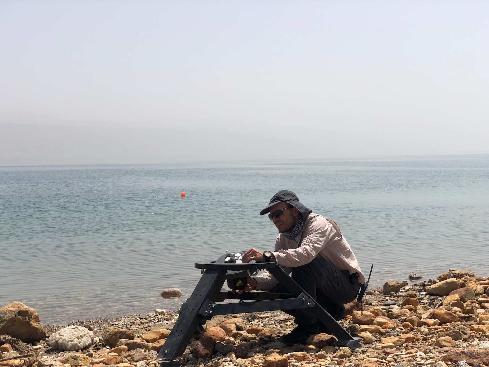
Wind, waves and gravel transport: Studying coastal erosion in the Dead Sea
Coastal erosion is reshaping our world, threatening homes, industries and culturally important places. By taking advantage of the unique conditions…
Measuring the erosive force of infragravity waves with ADCPs
As sea levels continue to rise and storms intensify, coastal erosion is becoming increasingly problematic for many nations across the world. This…